Area Overview for B13 0SG
Photos of B13 0SG
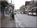
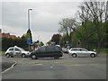
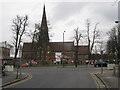
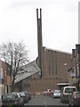
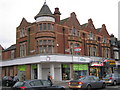
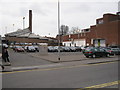
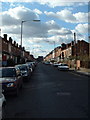
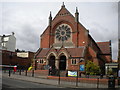

65 photos from this area
Area Information
Key information about the B13 0SG including its size, population, and administrative classification.
- Area Type
- Postcode
- Area Size
- 1.8 hectares
- Population
- Not available
- Population Density
- Not available
House Prices in B13 0SG
23
Properties
£281,167
Average Sold Price
£25,000
Lowest Price
£450,000
Highest Price
Showing 23 properties
| Address | Type | Beds | Baths | Last Sale Price | Last Sale Date | |
|---|---|---|---|---|---|---|
| 150 Wheelers Lane, Birmingham, B13 0SG | Semi-detached | 4 | 1 | £390,000 | Jul 2023 | |
| 132 Wheelers Lane, Birmingham, B13 0SG | Semi-detached | 3 | 1 | £390,000 | Mar 2023 | |
| 166 Wheelers Lane, Birmingham, B13 0SG | Semi-detached | 3 | 2 | £450,000 | Jan 2023 | |
| 120 Wheelers Lane, Birmingham, B13 0SG | Retail | 4 | 4 | £320,000 | May 2022 | |
| 130 Wheelers Lane, Birmingham, B13 0SG | house | - | - | £418,000 | Dec 2021 | |
| 164 Wheelers Lane, Birmingham, B13 0SG | Semi-detached | 5 | 2 | £389,000 | Dec 2018 | |
| 152 Wheelers Lane, Birmingham, B13 0SG | Semi-detached | 3 | 1 | £212,000 | May 2012 | |
| 154 Wheelers Lane, Birmingham, B13 0SG | house | - | - | £272,000 | Sep 2006 | |
| 146 Wheelers Lane, Birmingham, B13 0SG | Semi-detached | - | - | £195,000 | Jul 2004 | |
| 140 Wheelers Lane, Birmingham, B13 0SG | Retail | 4 | 4 | £193,000 | Jun 2003 |
Page 1 of 3
Energy Efficiency in B13 0SG
Amenities
Schools
| Rank | School | Type | Entry gender | Ages |
|---|
Explore more schools in this area
Go to Schools tabDemographics
Household Size
Family (3-5 people)
most common
Accommodation Type
Houses
most common
Tenure
76
majority
Ethnic Group
White
most common
Religion
N/A
most common
Household Composition
N/A
most common
Age
47
median
Adults (30-64 years)
most common
Household Deprivation
N/A
with no deprivation
NS-SEC
43
in Lower managerial occupations
Explore more demographic insights in this area
Go to Demographics tabPlanning
Planning Constraints
- Flood RiskPremium
- Ramsar Wetland SitesPremium
- Area of Outstanding Natural BeautyPremium
- Protected Nature ReservePremium
- Protected WoodlandPremium