Area Overview for B11 4NH
Photos of B11 4NH
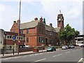
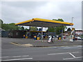
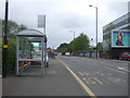
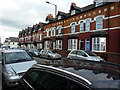
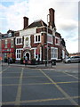

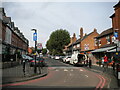
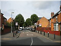
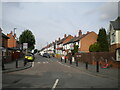
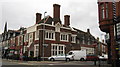
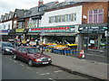
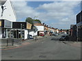
50 photos from this area
Area Information
Key information about the B11 4NH including its size, population, and administrative classification.
- Area Type
- Postcode
- Area Size
- 8735 m²
- Population
- 2004
- Population Density
- 8305 people/km²
House Prices in B11 4NH
32
Properties
£136,794
Average Sold Price
£16,000
Lowest Price
£267,500
Highest Price
Showing 32 properties
| Address | Type | Beds | Baths | Last Sale Price | Last Sale Date | |
|---|---|---|---|---|---|---|
| 35 Esme Road, Birmingham, B11 4NH | house | - | - | £267,500 | Nov 2021 | |
| 25 Esme Road, Birmingham, B11 4NH | house | - | - | £235,000 | May 2015 | |
| 11 Esme Road, Birmingham, B11 4NH | house | - | - | £66,000 | Aug 2014 | |
| 23 Esme Road, Birmingham, B11 4NH | house | 5 | - | £200,000 | Jan 2012 | |
| 55 Esme Road, Birmingham, B11 4NH | Terraced | - | - | £187,000 | Oct 2008 | |
| 33 Esme Road, Birmingham, B11 4NH | Terraced | - | - | £195,500 | Dec 2006 | |
| 53 Esme Road, Birmingham, B11 4NH | Terraced | - | - | £178,000 | Aug 2006 | |
| 51 Esme Road, Birmingham, B11 4NH | house | - | - | £194,000 | Nov 2004 | |
| 21 Esme Road, Birmingham, B11 4NH | house | - | - | £155,000 | Dec 2003 | |
| 37 Esme Road, Birmingham, B11 4NH | house | - | - | £150,000 | Oct 2003 |
Page 1 of 4
Energy Efficiency in B11 4NH
Amenities
Schools
| Rank | School | Type | Entry gender | Ages |
|---|
Explore more schools in this area
Go to Schools tabDemographics
Household Size
Family (3-5 people)
most common
Accommodation Type
Houses
most common
Tenure
63
majority
Ethnic Group
asian_total
most common
Religion
N/A
most common
Household Composition
N/A
most common
Age
47
median
Adults (30-64 years)
most common
Household Deprivation
N/A
with no deprivation
NS-SEC
14
in Lower managerial occupations
Explore more demographic insights in this area
Go to Demographics tabPlanning
Planning Constraints
- Flood RiskPremium
- Ramsar Wetland SitesPremium
- Area of Outstanding Natural BeautyPremium
- Protected Nature ReservePremium
- Protected WoodlandPremium