Area Overview for B11 4NJ
Photos of B11 4NJ
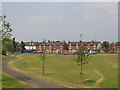
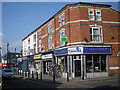
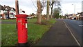
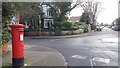
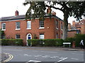
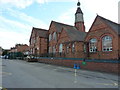
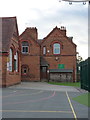
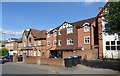
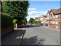
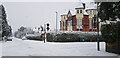
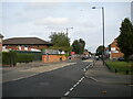
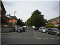
37 photos from this area
Area Information
Key information about the B11 4NJ including its size, population, and administrative classification.
- Area Type
- Postcode
- Area Size
- 8993 m²
- Population
- 2004
- Population Density
- 8305 people/km²
House Prices in B11 4NJ
35
Properties
£154,231
Average Sold Price
£47,500
Lowest Price
£282,000
Highest Price
Showing 35 properties
| Address | Type | Beds | Baths | Last Sale Price | Last Sale Date | |
|---|---|---|---|---|---|---|
| 57 Esme Road, Birmingham, B11 4NJ | house | - | - | £282,000 | Aug 2023 | |
| 117 Esme Road, Birmingham, B11 4NJ | Terraced | 3 | 2 | £212,000 | Aug 2021 | |
| 79 Esme Road, Birmingham, B11 4NJ | house | 4 | 1 | £220,000 | Sep 2020 | |
| 125 Esme Road, Birmingham, B11 4NJ | Terraced | 3 | 1 | £278,000 | Mar 2020 | |
| 71 Esme Road, Birmingham, B11 4NJ | Terraced | - | - | £144,700 | Jul 2019 | |
| 115 Esme Road, Birmingham, B11 4NJ | house | 3 | - | £145,000 | May 2014 | |
| 85 Esme Road, Birmingham, B11 4NJ | house | - | - | £165,000 | Feb 2010 | |
| 83 Esme Road, Birmingham, B11 4NJ | house | - | - | £200,000 | May 2008 | |
| 63 Esme Road, Birmingham, B11 4NJ | house | - | - | £207,000 | Jul 2005 | |
| 111 Esme Road, Birmingham, B11 4NJ | house | - | - | £177,000 | Jun 2004 |
Page 1 of 4
Energy Efficiency in B11 4NJ
Amenities
Schools
| Rank | School | Type | Entry gender | Ages |
|---|
Explore more schools in this area
Go to Schools tabDemographics
Household Size
Family (3-5 people)
most common
Accommodation Type
Houses
most common
Tenure
63
majority
Ethnic Group
asian_total
most common
Religion
N/A
most common
Household Composition
N/A
most common
Age
47
median
Adults (30-64 years)
most common
Household Deprivation
N/A
with no deprivation
NS-SEC
14
in Lower managerial occupations
Explore more demographic insights in this area
Go to Demographics tabPlanning
Planning Constraints
- Flood RiskPremium
- Ramsar Wetland SitesPremium
- Area of Outstanding Natural BeautyPremium
- Protected Nature ReservePremium
- Protected WoodlandPremium