Area Overview for B11 3SL
Photos of B11 3SL
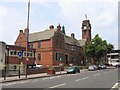
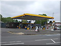
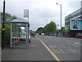
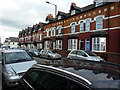
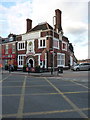

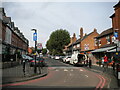
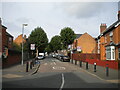
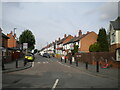
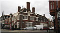
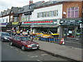
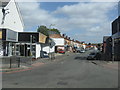
50 photos from this area
Area Information
Key information about the B11 3SL including its size, population, and administrative classification.
- Area Type
- Postcode
- Area Size
- 8303 m²
- Population
- 3307
- Population Density
- 14903 people/km²
House Prices in B11 3SL
44
Properties
£105,618
Average Sold Price
£25,000
Lowest Price
£248,000
Highest Price
Showing 44 properties
| Address | Type | Beds | Baths | Last Sale Price | Last Sale Date | |
|---|---|---|---|---|---|---|
| 60 Castleford Road, Birmingham, B11 3SL | house | - | - | £195,000 | May 2022 | |
| 6 Castleford Road, Birmingham, B11 3SL | house | - | - | £171,500 | May 2017 | |
| 34 Castleford Road, Birmingham, B11 3SL | house | - | - | £130,000 | Jan 2017 | |
| 38 Castleford Road, Birmingham, B11 3SL | house | 3 | - | £150,000 | May 2013 | |
| 62 Castleford Road, Birmingham, B11 3SL | house | - | - | £160,000 | Mar 2008 | |
| 44 Castleford Road, Birmingham, B11 3SL | house | - | - | £95,000 | Jan 2008 | |
| 2 Castleford Road, Birmingham, B11 3SL | Terraced | 2 | 1 | £248,000 | Jul 2006 | |
| 58 Castleford Road, Birmingham, B11 3SL | Terraced | - | - | £150,000 | Oct 2005 | |
| 36 Castleford Road, Birmingham, B11 3SL | house | - | - | £125,000 | Dec 2004 | |
| 22 Castleford Road, Birmingham, B11 3SL | Terraced | 3 | 2 | £57,000 | Mar 2002 |
Page 1 of 5
Energy Efficiency in B11 3SL
Amenities
Schools
| Rank | School | Type | Entry gender | Ages |
|---|
Explore more schools in this area
Go to Schools tabDemographics
Household Size
Family (3-5 people)
most common
Accommodation Type
Houses
most common
Tenure
50
majority
Ethnic Group
asian_total
most common
Religion
N/A
most common
Household Composition
N/A
most common
Age
22
median
Adults (30-64 years)
most common
Household Deprivation
N/A
with no deprivation
NS-SEC
9
in Lower managerial occupations
Explore more demographic insights in this area
Go to Demographics tabPlanning
Planning Constraints
- Flood RiskPremium
- Ramsar Wetland SitesPremium
- Area of Outstanding Natural BeautyPremium
- Protected Nature ReservePremium
- Protected WoodlandPremium