Area Overview for B11 3NS
Photos of B11 3NS
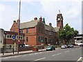
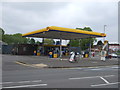
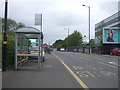
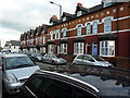
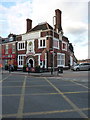

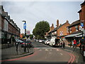
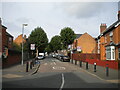
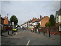
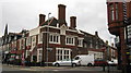
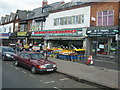
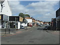
50 photos from this area
Area Information
Key information about the B11 3NS including its size, population, and administrative classification.
- Area Type
- Postcode
- Area Size
- 1.4 hectares
- Population
- 3307
- Population Density
- 14903 people/km²
House Prices in B11 3NS
56
Properties
£126,930
Average Sold Price
£41,500
Lowest Price
£245,000
Highest Price
Showing 56 properties
| Address | Type | Beds | Baths | Last Sale Price | Last Sale Date | |
|---|---|---|---|---|---|---|
| 10 Fernley Road, Birmingham, B11 3NS | Terraced | 6 | 2 | £240,000 | Feb 2025 | |
| 36 Fernley Road, Birmingham, B11 3NS | Maisonette | 2 | - | £100,000 | Jan 2025 | |
| 40 Fernley Road, Birmingham, B11 3NS | Flat | - | - | £102,500 | Dec 2024 | |
| 22 Fernley Road, Birmingham, B11 3NS | Terraced | 3 | 1 | £195,000 | Oct 2023 | |
| 16 Fernley Road, Birmingham, B11 3NS | Retail | 3 | - | £245,000 | Sep 2022 | |
| 48 Fernley Road, Birmingham, B11 3NS | house | - | - | £177,000 | Dec 2020 | |
| 55 Fernley Road, Birmingham, B11 3NS | house | - | - | £148,000 | Mar 2016 | |
| 41 Fernley Road, Birmingham, B11 3NS | Terraced | 3 | - | £135,000 | Jul 2014 | |
| 49 Fernley Road, Birmingham, B11 3NS | house | - | - | £124,950 | May 2014 | |
| 12 Fernley Road, Birmingham, B11 3NS | house | 4 | - | £160,000 | Nov 2013 |
Page 1 of 6
Energy Efficiency in B11 3NS
Amenities
Schools
| Rank | School | Type | Entry gender | Ages |
|---|
Explore more schools in this area
Go to Schools tabDemographics
Household Size
Family (3-5 people)
most common
Accommodation Type
Houses
most common
Tenure
50
majority
Ethnic Group
asian_total
most common
Religion
N/A
most common
Household Composition
N/A
most common
Age
22
median
Adults (30-64 years)
most common
Household Deprivation
N/A
with no deprivation
NS-SEC
9
in Lower managerial occupations
Explore more demographic insights in this area
Go to Demographics tabPlanning
Planning Constraints
- Flood RiskPremium
- Ramsar Wetland SitesPremium
- Area of Outstanding Natural BeautyPremium
- Protected Nature ReservePremium
- Protected WoodlandPremium