Area Overview for B10 9ST
Photos of B10 9ST
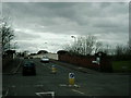
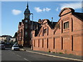
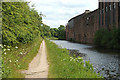
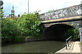
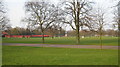
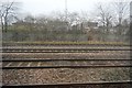
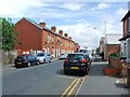
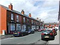
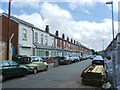
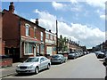
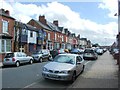
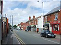
67 photos from this area
Area Information
Key information about the B10 9ST including its size, population, and administrative classification.
- Area Type
- Postcode
- Area Size
- 1353 m²
- Population
- 2683
- Population Density
- 11545 people/km²
House Prices in B10 9ST
7
Properties
£65,958
Average Sold Price
£19,750
Lowest Price
£165,000
Highest Price
Showing 7 properties
| Address | Type | Beds | Baths | Last Sale Price | Last Sale Date | |
|---|---|---|---|---|---|---|
| 4 Woodbine Avenue, Birmingham, B10 9ST | Terraced | 2 | 1 | £165,000 | Oct 2024 | |
| 2 Woodbine Avenue, Birmingham, B10 9ST | Terraced | 3 | 1 | £85,000 | Jun 2016 | |
| 3 Woodbine Avenue, Birmingham, B10 9ST | Terraced | - | - | £83,000 | Oct 2005 | |
| 6 Woodbine Avenue, Birmingham, B10 9ST | Terraced | - | - | £23,000 | Jan 2001 | |
| 5 Woodbine Avenue, Birmingham, B10 9ST | Terraced | 2 | 1 | £19,750 | Oct 1998 | |
| 1 Woodbine Avenue, Birmingham, B10 9ST | house | - | - | £20,000 | Mar 1995 | |
| Weldall Co (small Heath) Ltd, Wright Street, Bordesley Green, Birmingham, B10 9ST | shop | - | - | - | - |
Energy Efficiency in B10 9ST
Amenities
Schools
| Rank | School | Type | Entry gender | Ages |
|---|
Explore more schools in this area
Go to Schools tabDemographics
Household Size
Family (3-5 people)
most common
Accommodation Type
Houses
most common
Tenure
47
majority
Ethnic Group
asian_total
most common
Religion
N/A
most common
Household Composition
N/A
most common
Age
22
median
Adults (30-64 years)
most common
Household Deprivation
N/A
with no deprivation
NS-SEC
12
in Lower managerial occupations
Explore more demographic insights in this area
Go to Demographics tabPlanning
Planning Constraints
- Flood RiskPremium
- Ramsar Wetland SitesPremium
- Area of Outstanding Natural BeautyPremium
- Protected Nature ReservePremium
- Protected WoodlandPremium