Area Overview for SN15 2DT
Photos of SN15 2DT
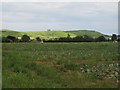
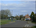
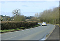
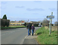
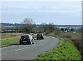
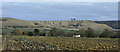
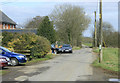
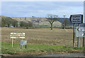
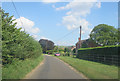
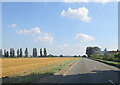
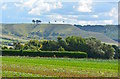
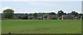
13 photos from this area
Area Information
Key information about the SN15 2DT including its size, population, and administrative classification.
- Area Type
- Postcode
- Area Size
- 31.5 hectares
- Population
- 1546
- Population Density
- 119 people/km²
House Prices in SN15 2DT
23
Properties
£389,000
Average Sold Price
£114,000
Lowest Price
£900,000
Highest Price
Showing 23 properties
| Address | Type | Beds | Baths | Last Sale Price | Last Sale Date | |
|---|---|---|---|---|---|---|
| Moreton House, 54 Yard Lane, Bromham, SN15 2DT | Detached | 7 | - | £900,000 | Aug 2023 | |
| 9 Yard Lane, Bromham, SN15 2DT | house | - | - | £350,000 | Jul 2022 | |
| 17 Yard Lane, Bromham, SN15 2DT | house | - | - | £350,000 | Mar 2018 | |
| Bryher, 46 Yard Lane, Bromham, SN15 2DT | house | - | - | £470,000 | Mar 2017 | |
| Maple House, 60 Yard Lane, Bromham, SN15 2DT | house | - | - | £784,000 | Nov 2015 | |
| 19 Yard Lane, Bromham, SN15 2DT | Semi-detached | 3 | 2 | £235,000 | May 2014 | |
| Elm Cottage, 42 Yard Lane, Bromham, SN15 2DT | house | - | - | £525,000 | Nov 2006 | |
| 29 Yard Lane, Bromham, SN15 2DT | Semi-detached | 4 | 2 | £250,000 | Nov 2006 | |
| Enfield, 62 Yard Lane, Bromham, SN15 2DT | Detached | - | - | £315,000 | Dec 2002 | |
| Roundview House, Yard Lane, Bromham, SN15 2DT | Detached | 4 | 2 | £230,000 | Mar 2002 |
Page 1 of 3
Energy Efficiency in SN15 2DT
Amenities
Schools
| Rank | School | Type | Entry gender | Ages |
|---|
Explore more schools in this area
Go to Schools tabDemographics
Household Size
Two person
most common
Accommodation Type
Houses
most common
Tenure
66
majority
Ethnic Group
White
most common
Religion
N/A
most common
Household Composition
N/A
most common
Age
47
median
Adults (30-64 years)
most common
Household Deprivation
N/A
with no deprivation
NS-SEC
35
in Lower managerial occupations
Explore more demographic insights in this area
Go to Demographics tabPlanning
Planning Constraints
- Flood RiskPremium
- Ramsar Wetland SitesPremium
- Area of Outstanding Natural BeautyPremium
- Protected Nature ReservePremium
- Protected WoodlandPremium