Area Overview for SN15 2HF
Photos of SN15 2HF
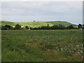
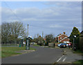
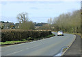
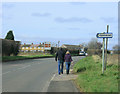
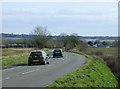
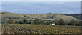
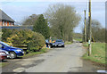
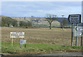
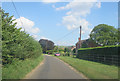
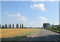
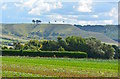
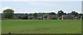
13 photos from this area
Area Information
Key information about the SN15 2HF including its size, population, and administrative classification.
- Area Type
- Postcode
- Area Size
- 7.7 hectares
- Population
- 1546
- Population Density
- 119 people/km²
House Prices in SN15 2HF
21
Properties
£265,900
Average Sold Price
£132,000
Lowest Price
£395,000
Highest Price
Showing 21 properties
| Address | Type | Beds | Baths | Last Sale Price | Last Sale Date | |
|---|---|---|---|---|---|---|
| 41 The Pound, Bromham, SN15 2HF | house | 2 | 1 | £235,000 | Jul 2025 | |
| Pound Cottage, 39 The Pound, Bromham, SN15 2HF | Detached | 4 | 1 | £395,000 | Mar 2021 | |
| 38 The Pound, Bromham, SN15 2HF | Bungalow | - | - | £365,000 | Nov 2017 | |
| Harvest View, 53 The Pound, Bromham, SN15 2HF | Semi-detached | 3 | - | £342,000 | Aug 2017 | |
| 50 The Pound, Bromham, SN15 2HF | house | - | - | £250,000 | Mar 2017 | |
| 36 The Pound, Bromham, SN15 2HF | Detached | 1 | 1 | £132,000 | Jan 2017 | |
| Ayala, 48 The Pound, Bromham, SN15 2HF | house | - | - | £285,000 | Aug 2016 | |
| 40 The Pound, Bromham, SN15 2HF | Semi-detached | 4 | - | £375,000 | Mar 2016 | |
| 39A The Pound, Bromham, SN15 2HF | Semi-detached | 2 | 1 | £145,000 | Apr 2011 | |
| 46 The Pound, Bromham, SN15 2HF | Semi-detached | - | - | £135,000 | Apr 2001 |
Page 1 of 3
Energy Efficiency in SN15 2HF
Amenities
Schools
| Rank | School | Type | Entry gender | Ages |
|---|
Explore more schools in this area
Go to Schools tabDemographics
Household Size
Two person
most common
Accommodation Type
Houses
most common
Tenure
66
majority
Ethnic Group
White
most common
Religion
N/A
most common
Household Composition
N/A
most common
Age
47
median
Adults (30-64 years)
most common
Household Deprivation
N/A
with no deprivation
NS-SEC
35
in Lower managerial occupations
Explore more demographic insights in this area
Go to Demographics tabPlanning
Planning Constraints
- Flood RiskPremium
- Ramsar Wetland SitesPremium
- Area of Outstanding Natural BeautyPremium
- Protected Nature ReservePremium
- Protected WoodlandPremium