Area Overview for SN15 2DW
Photos of SN15 2DW
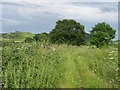
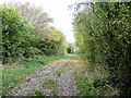
![In the wood [1] in SN15 2DW](https://images.propbar.co.uk/images/geograph/52/33/5233935_120.jpg)
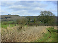
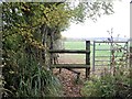
![In the wood [2] in SN15 2DW](https://images.propbar.co.uk/images/geograph/52/33/5233936_120.jpg)
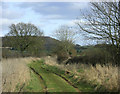
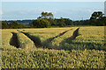
![In the wood [3] in SN15 2DW](https://images.propbar.co.uk/images/geograph/52/33/5233964_120.jpg)
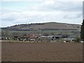
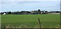
![In the wood [4] in SN15 2DW](https://images.propbar.co.uk/images/geograph/52/33/5233965_120.jpg)
12 photos from this area
Area Information
Key information about the SN15 2DW including its size, population, and administrative classification.
- Area Type
- Postcode
- Area Size
- 1.8 km²
- Population
- 1546
- Population Density
- 119 people/km²
House Prices in SN15 2DW
35
Properties
£457,534
Average Sold Price
£130,000
Lowest Price
£1,495,000
Highest Price
Showing 35 properties
| Address | Type | Beds | Baths | Last Sale Price | Last Sale Date | |
|---|---|---|---|---|---|---|
| Yew Tree House, 83 Netherstreet, Bromham, SN15 2DW | house | 4 | 2 | £675,000 | Nov 2024 | |
| Netherfield, 93 Netherstreet, Bromham, SN15 2DW | Detached | 5 | 3 | £1,495,000 | Dec 2023 | |
| Orchardlea, 56 Netherstreet, Bromham, SN15 2DW | Retail | 4 | 2 | £640,000 | Nov 2022 | |
| 44 Netherstreet, Bromham, SN15 2DW | Detached | - | - | £320,800 | Nov 2022 | |
| 16 Netherstreet, Bromham, SN15 2DW | Bungalow | - | - | £605,000 | Jun 2022 | |
| Barnfield, 10 Netherstreet, Bromham, SN15 2DW | Bungalow | - | - | £695,000 | Jun 2022 | |
| 75 Netherstreet, Bromham, SN15 2DW | Detached | 4 | 2 | £600,000 | Oct 2020 | |
| Byways, 54 Netherstreet, Bromham, SN15 2DW | Detached | 5 | 4 | £535,000 | Aug 2020 | |
| 18 Netherstreet, Bromham, SN15 2DW | Bungalow | 4 | 2 | £280,000 | Dec 2019 | |
| Long Acre, 20 Netherstreet, Bromham, SN15 2DW | Bungalow | - | - | £577,000 | Jul 2017 |
Page 1 of 4
Energy Efficiency in SN15 2DW
Amenities
Schools
| Rank | School | Type | Entry gender | Ages |
|---|
Explore more schools in this area
Go to Schools tabDemographics
Household Size
Two person
most common
Accommodation Type
Houses
most common
Tenure
66
majority
Ethnic Group
White
most common
Religion
N/A
most common
Household Composition
N/A
most common
Age
47
median
Adults (30-64 years)
most common
Household Deprivation
N/A
with no deprivation
NS-SEC
35
in Lower managerial occupations
Explore more demographic insights in this area
Go to Demographics tabPlanning
Planning Constraints
- Flood RiskPremium
- Ramsar Wetland SitesPremium
- Area of Outstanding Natural BeautyPremium
- Protected Nature ReservePremium
- Protected WoodlandPremium