Area Overview for EX13 5TD
Photos of EX13 5TD
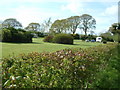

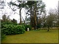
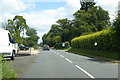
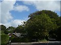
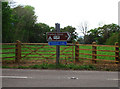
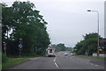
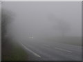

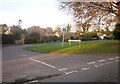
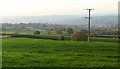
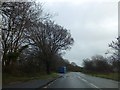
17 photos from this area
Area Information
Key information about the EX13 5TD including its size, population, and administrative classification.
- Area Type
- Postcode
- Area Size
- 24.2 hectares
- Population
- 1690
- Population Density
- 98 people/km²
House Prices in EX13 5TD
47
Properties
£403,769
Average Sold Price
£102,500
Lowest Price
£770,000
Highest Price
Showing 47 properties
| Address | Type | Beds | Baths | Last Sale Price | Last Sale Date | |
|---|---|---|---|---|---|---|
| Sandridge, Green Lane, Axminster, EX13 5TD | Bungalow | 4 | 3 | £770,000 | Jul 2022 | |
| Pinewood, Green Lane, Axminster, EX13 5TD | Bungalow | 3 | 2 | £620,000 | Mar 2021 | |
| Craigmore, Green Lane, Axminster, EX13 5TD | Bungalow | 3 | 2 | £510,544 | Jan 2021 | |
| Ashmount, Green Lane, Axminster, EX13 5TD | Bungalow | 3 | 2 | £374,000 | Sep 2020 | |
| Beech House, Green Lane, Axminster, EX13 5TD | Bungalow | - | - | £460,000 | Nov 2019 | |
| The Sycamores, Green Lane, Axminster, EX13 5TD | Bungalow | - | - | £325,000 | Sep 2019 | |
| Oakfield, Green Lane, Axminster, EX13 5TD | Bungalow | 3 | 3 | £445,000 | Mar 2019 | |
| The Wells, Green Lane, Axminster, EX13 5TD | Detached | 7 | 2 | £560,000 | Feb 2018 | |
| Pilgrims Peak, Green Lane, Axminster, EX13 5TD | Bungalow | 4 | - | £540,000 | Feb 2018 | |
| Claremont, Green Lane, Axminster, EX13 5TD | Detached | 4 | 2 | £410,000 | Sep 2017 |
Page 1 of 5
Energy Efficiency in EX13 5TD
Amenities
Schools
| Rank | School | Type | Entry gender | Ages |
|---|
Explore more schools in this area
Go to Schools tabDemographics
Household Size
Two person
most common
Accommodation Type
Houses
most common
Tenure
73
majority
Ethnic Group
White
most common
Religion
N/A
most common
Household Composition
N/A
most common
Age
47
median
Elderly (65+ years)
most common
Household Deprivation
N/A
with no deprivation
NS-SEC
36
in Lower managerial occupations
Explore more demographic insights in this area
Go to Demographics tabPlanning
Planning Constraints
- Flood RiskPremium
- Ramsar Wetland SitesPremium
- Area of Outstanding Natural BeautyPremium
- Protected Nature ReservePremium
- Protected WoodlandPremium