Area Overview for DT6 6DD
Photos of DT6 6DD
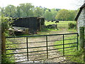
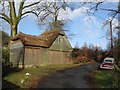
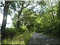
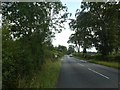
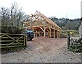
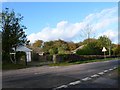
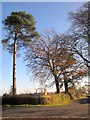
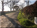
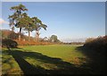
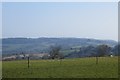
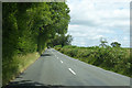
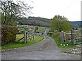
20 photos from this area
Area Information
Key information about the DT6 6DD including its size, population, and administrative classification.
- Area Type
- Postcode
- Area Size
- 1.3 km²
- Population
- 1690
- Population Density
- 98 people/km²
House Prices in DT6 6DD
13
Properties
£860,167
Average Sold Price
£658,000
Lowest Price
£1,100,000
Highest Price
Showing 13 properties
| Address | Type | Beds | Baths | Last Sale Price | Last Sale Date | |
|---|---|---|---|---|---|---|
| Highgate, Pound Lane, Monkton Wyld, DT6 6DD | house | - | - | £1,100,000 | Dec 2021 | |
| Forest Farm, Pound Lane, Monkton Wyld, DT6 6DD | house | - | - | £658,000 | Mar 2018 | |
| Greenlands, Pound Lane, Monkton Wyld, DT6 6DD | house | - | - | £822,500 | Mar 2018 | |
| Caravan, Forest Farm, Pound Lane, Monkton Wyld, DT6 6DD | Mobile Home | - | - | - | - | |
| Rose Cottage, Pound Lane, Monkton Wyld, DT6 6DD | Detached | - | - | - | - | |
| Wyld Meadow Farm, Pound Lane, Monkton Wyld, DT6 6DD | Detached | - | - | - | - | |
| Pilsdon Fort, Higher Pound Farm, Pound Lane, Monkton Wyld, DT6 6DD | hotel | - | - | - | - | |
| Warren View, Higher Pound Farm, Pound Lane, Monkton Wyld, DT6 6DD | hotel | - | - | - | - | |
| Lamberts Castle, Higher Pound Farm, Pound Lane, Monkton Wyld, DT6 6DD | hotel | - | - | - | - | |
| The Farmhouse, Higher Pound Farm, Pound Lane, Monkton Wyld, DT6 6DD | hotel | - | - | - | - |
Page 1 of 2
Energy Efficiency in DT6 6DD
Amenities
Schools
| Rank | School | Type | Entry gender | Ages |
|---|
Explore more schools in this area
Go to Schools tabDemographics
Household Size
Two person
most common
Accommodation Type
Houses
most common
Tenure
73
majority
Ethnic Group
White
most common
Religion
N/A
most common
Household Composition
N/A
most common
Age
47
median
Elderly (65+ years)
most common
Household Deprivation
N/A
with no deprivation
NS-SEC
36
in Lower managerial occupations
Explore more demographic insights in this area
Go to Demographics tabPlanning
Planning Constraints
- Flood RiskPremium
- Ramsar Wetland SitesPremium
- Area of Outstanding Natural BeautyPremium
- Protected Nature ReservePremium
- Protected WoodlandPremium