Area Overview for DT6 6NG
Photos of DT6 6NG
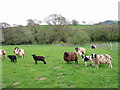
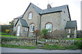
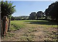
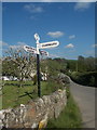
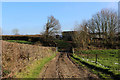
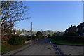
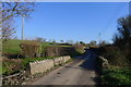
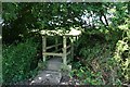
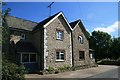
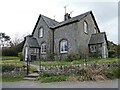
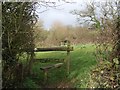
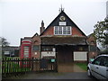
21 photos from this area
Area Information
Key information about the DT6 6NG including its size, population, and administrative classification.
- Area Type
- Postcode
- Area Size
- 36.1 hectares
- Population
- 1690
- Population Density
- 98 people/km²
House Prices in DT6 6NG
26
Properties
£383,083
Average Sold Price
£74,250
Lowest Price
£610,000
Highest Price
Showing 26 properties
| Address | Type | Beds | Baths | Last Sale Price | Last Sale Date | |
|---|---|---|---|---|---|---|
| 14 School Lane, Wootton Fitzpaine, DT6 6NG | Detached | 3 | 1 | £610,000 | Oct 2024 | |
| 20 Meerhay Lane, Wootton Fitzpaine, DT6 6NG | Semi-detached | 3 | 1 | £465,000 | Jun 2023 | |
| 4, Meerhayfield Cottages, Meerhay Lane, Wootton Fitzpaine, DT6 6NG | Semi-detached | - | - | £74,250 | Oct 2003 | |
| 3, Meerhayfield Cottages, Meerhay Lane, Wootton Fitzpaine, DT6 6NG | Detached | 4 | 1 | - | - | |
| Hollycombe, School Lane, Wootton Fitzpaine, DT6 6NG | Bungalow | 3 | 2 | - | - | |
| Knapp Farmhouse, Wootton Lane, Wootton Fitzpaine, DT6 6NG | Detached | 4 | - | - | - | |
| 12 School Lane, Wootton Fitzpaine, DT6 6NG | Detached | 4 | 2 | - | - | |
| 18 Meerhay Lane, Wootton Fitzpaine, DT6 6NG | house | 3 | - | - | - | |
| Katherines Cowstall, Meerhay Lane, Wootton Fitzpaine, DT6 6NG | house | - | - | - | - | |
| Knapp Cottages, 16 School Lane, Wootton Fitzpaine, DT6 6NG | house | - | - | - | - |
Page 1 of 3
Energy Efficiency in DT6 6NG
Amenities
Schools
| Rank | School | Type | Entry gender | Ages |
|---|
Explore more schools in this area
Go to Schools tabDemographics
Household Size
Two person
most common
Accommodation Type
Houses
most common
Tenure
73
majority
Ethnic Group
White
most common
Religion
N/A
most common
Household Composition
N/A
most common
Age
47
median
Elderly (65+ years)
most common
Household Deprivation
N/A
with no deprivation
NS-SEC
36
in Lower managerial occupations
Explore more demographic insights in this area
Go to Demographics tabPlanning
Planning Constraints
- Flood RiskPremium
- Ramsar Wetland SitesPremium
- Area of Outstanding Natural BeautyPremium
- Protected Nature ReservePremium
- Protected WoodlandPremium