Area Overview for DT6 6DF
Photos of DT6 6DF
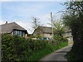
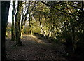
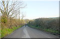
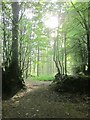
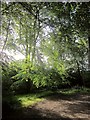
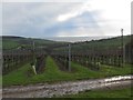
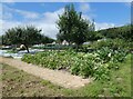
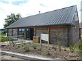
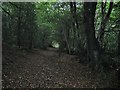
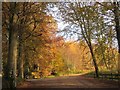
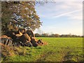
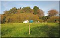
22 photos from this area
Area Information
Key information about the DT6 6DF including its size, population, and administrative classification.
- Area Type
- Postcode
- Area Size
- 2.8 km²
- Population
- 1690
- Population Density
- 98 people/km²
House Prices in DT6 6DF
27
Properties
£485,500
Average Sold Price
£135,000
Lowest Price
£1,250,000
Highest Price
Showing 27 properties
| Address | Type | Beds | Baths | Last Sale Price | Last Sale Date | |
|---|---|---|---|---|---|---|
| Spence Farm, Spence Lane, Wootton Fitzpaine, DT6 6DF | house | - | - | £1,250,000 | Jun 2021 | |
| Willow Cottage, Spence Lane, Wootton Fitzpaine, DT6 6DF | Semi-detached | 2 | 1 | £390,000 | Aug 2020 | |
| Keepers Cottage, Access To Marsh Farm, Wootton Fitzpaine, DT6 6DF | Detached | - | - | £135,000 | Apr 2001 | |
| Spence Cottage, Spence Lane, Wootton Fitzpaine, DT6 6DF | Semi-detached | - | - | £167,000 | Jul 1999 | |
| Thorn, Champernhayes Cross To Meerhay Lane, Wootton Fitzpaine, DT6 6DF | Semi-detached | 2 | 1 | - | - | |
| The Caravan, Pussy Willows, Spence Lane, Wootton Fitzpaine, DT6 6DF | undefined | - | - | - | - | |
| Fivepenny Farm, Spence Lane, Wootton Fitzpaine, DT6 6DF | Farm | - | - | - | - | |
| The Owl, Champernhayes, Champernhayes Lane, Wootton Fitzpaine, DT6 6DF | Bungalow | - | - | - | - | |
| The Swallow, Champernhayes, Champernhayes Lane, Wootton Fitzpaine, DT6 6DF | Bungalow | - | - | - | - | |
| The Blackbird, Champernhayes, Champernhayes Lane, Wootton Fitzpaine, DT6 6DF | Bungalow | - | - | - | - |
Page 1 of 3
Energy Efficiency in DT6 6DF
Amenities
Schools
| Rank | School | Type | Entry gender | Ages |
|---|
Explore more schools in this area
Go to Schools tabDemographics
Household Size
Two person
most common
Accommodation Type
Houses
most common
Tenure
73
majority
Ethnic Group
White
most common
Religion
N/A
most common
Household Composition
N/A
most common
Age
47
median
Elderly (65+ years)
most common
Household Deprivation
N/A
with no deprivation
NS-SEC
36
in Lower managerial occupations
Explore more demographic insights in this area
Go to Demographics tabPlanning
Planning Constraints
- Flood RiskPremium
- Ramsar Wetland SitesPremium
- Area of Outstanding Natural BeautyPremium
- Protected Nature ReservePremium
- Protected WoodlandPremium