Area Overview for SM7 1DY
Photos of SM7 1DY
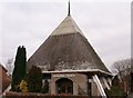
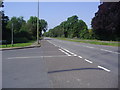
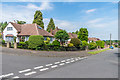
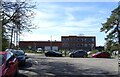
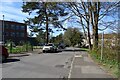
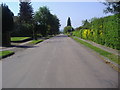
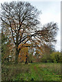
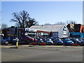
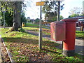
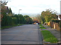
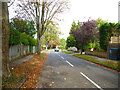
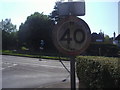
19 photos from this area
Area Information
Key information about the SM7 1DY including its size, population, and administrative classification.
- Area Type
- Postcode
- Area Size
- 1.8 hectares
- Population
- 1971
- Population Density
- 1794 people/km²
House Prices in SM7 1DY
14
Properties
£655,944
Average Sold Price
£218,500
Lowest Price
£1,060,000
Highest Price
Showing 14 properties
| Address | Type | Beds | Baths | Last Sale Price | Last Sale Date | |
|---|---|---|---|---|---|---|
| 4 Beacon Way, Banstead, SM7 1DY | house | - | - | £1,060,000 | Mar 2021 | |
| 14 Beacon Way, Banstead, SM7 1DY | Detached | 4 | 1 | £780,000 | Apr 2019 | |
| 18A Beacon Way, Banstead, SM7 1DY | Detached | 4 | - | £840,000 | Jun 2018 | |
| 10 Beacon Way, Banstead, SM7 1DY | Detached | 5 | - | £900,000 | Jul 2017 | |
| 8 Beacon Way, Banstead, SM7 1DY | Detached | 5 | - | £635,000 | Apr 2014 | |
| 6 Beacon Way, Banstead, SM7 1DY | house | 3 | - | £585,000 | Apr 2011 | |
| 2 Beacon Way, Banstead, SM7 1DY | Detached | 5 | - | £530,000 | Sep 2004 | |
| 12 Beacon Way, Banstead, SM7 1DY | Detached | 4 | 2 | £355,000 | Jul 2001 | |
| 16 Beacon Way, Banstead, SM7 1DY | Detached | - | - | £218,500 | Jul 1997 | |
| 22C Beacon Way, Banstead, SM7 1DY | Detached | - | - | - | - |
Page 1 of 2
Energy Efficiency in SM7 1DY
Amenities
Schools
| Rank | School | Type | Entry gender | Ages |
|---|
Explore more schools in this area
Go to Schools tabDemographics
Household Size
Family (3-5 people)
most common
Accommodation Type
Houses
most common
Tenure
92
majority
Ethnic Group
White
most common
Religion
N/A
most common
Household Composition
N/A
most common
Age
47
median
Adults (30-64 years)
most common
Household Deprivation
N/A
with no deprivation
NS-SEC
49
in Lower managerial occupations
Explore more demographic insights in this area
Go to Demographics tabPlanning
Planning Constraints
- Flood RiskPremium
- Ramsar Wetland SitesPremium
- Area of Outstanding Natural BeautyPremium
- Protected Nature ReservePremium
- Protected WoodlandPremium