Area Overview for SM7 1HD
Photos of SM7 1HD
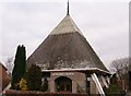
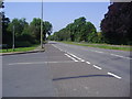
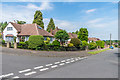
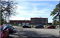
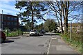
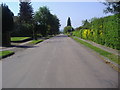
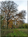
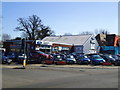
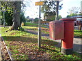
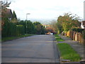
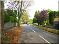
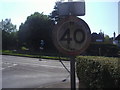
19 photos from this area
Area Information
Key information about the SM7 1HD including its size, population, and administrative classification.
- Area Type
- Postcode
- Area Size
- 2.2 hectares
- Population
- 1971
- Population Density
- 1794 people/km²
House Prices in SM7 1HD
25
Properties
£480,093
Average Sold Price
£130,000
Lowest Price
£900,000
Highest Price
Showing 25 properties
| Address | Type | Beds | Baths | Last Sale Price | Last Sale Date | |
|---|---|---|---|---|---|---|
| 50 Buckles Way, Banstead, SM7 1HD | Detached | 3 | 1 | £900,000 | Jun 2023 | |
| Pilly Place, 38 Buckles Way, Banstead, SM7 1HD | Detached | 4 | 2 | £799,950 | Jul 2017 | |
| 2 Buckles Way, Banstead, SM7 1HD | Detached | 3 | 2 | £675,000 | Apr 2015 | |
| 10 Buckles Way, Banstead, SM7 1HD | house | - | - | £475,000 | Apr 2010 | |
| 16 Buckles Way, Banstead, SM7 1HD | Detached | 3 | 1 | £464,000 | Dec 2009 | |
| 18 Buckles Way, Banstead, SM7 1HD | Detached | - | - | £645,000 | Oct 2007 | |
| 22 Buckles Way, Banstead, SM7 1HD | house | - | - | £620,000 | Jul 2007 | |
| 14 Buckles Way, Banstead, SM7 1HD | Detached | - | - | £412,500 | Mar 2006 | |
| 36 Buckles Way, Banstead, SM7 1HD | Detached | - | - | £570,000 | Dec 2005 | |
| 34 Buckles Way, Banstead, SM7 1HD | Detached | - | - | £460,000 | Aug 2004 |
Page 1 of 3
Energy Efficiency in SM7 1HD
Amenities
Schools
| Rank | School | Type | Entry gender | Ages |
|---|
Explore more schools in this area
Go to Schools tabDemographics
Household Size
Family (3-5 people)
most common
Accommodation Type
Houses
most common
Tenure
92
majority
Ethnic Group
White
most common
Religion
N/A
most common
Household Composition
N/A
most common
Age
47
median
Adults (30-64 years)
most common
Household Deprivation
N/A
with no deprivation
NS-SEC
49
in Lower managerial occupations
Explore more demographic insights in this area
Go to Demographics tabPlanning
Planning Constraints
- Flood RiskPremium
- Ramsar Wetland SitesPremium
- Area of Outstanding Natural BeautyPremium
- Protected Nature ReservePremium
- Protected WoodlandPremium