Area Overview for SM7 1HB
Photos of SM7 1HB
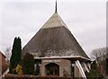
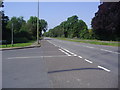
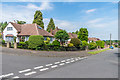
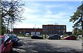
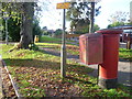
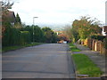
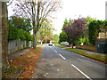
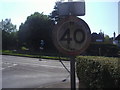
19 photos from this area
Area Information
Key information about the SM7 1HB including its size, population, and administrative classification.
- Area Type
- Postcode
- Area Size
- 2.0 hectares
- Population
- 1971
- Population Density
- 1794 people/km²
House Prices in SM7 1HB
19
Properties
£727,750
Average Sold Price
£173,000
Lowest Price
£1,425,000
Highest Price
Showing 19 properties
| Address | Type | Beds | Baths | Last Sale Price | Last Sale Date | |
|---|---|---|---|---|---|---|
| 19 Buckles Way, Banstead, SM7 1HB | Detached | 5 | 3 | £1,250,000 | Mar 2025 | |
| 23 Buckles Way, Banstead, SM7 1HB | Detached | 5 | 3 | £1,247,500 | Apr 2022 | |
| 7A Buckles Way, Banstead, SM7 1HB | Detached | 4 | 2 | £875,000 | Jan 2020 | |
| 13 Buckles Way, Banstead, SM7 1HB | Detached | 4 | 2 | £885,000 | Oct 2019 | |
| High View, 5A Buckles Way, Banstead, SM7 1HB | Detached | 3 | 1 | £1,425,000 | Aug 2019 | |
| 11 Buckles Way, Banstead, SM7 1HB | Detached | 3 | 1 | £768,000 | Jul 2018 | |
| 17 Buckles Way, Banstead, SM7 1HB | house | - | - | £522,500 | Oct 2010 | |
| 5 Buckles Way, Banstead, SM7 1HB | Detached | - | - | £599,000 | Mar 2005 | |
| 3 Buckles Way, Banstead, SM7 1HB | Detached | - | - | £490,000 | Dec 2002 | |
| 27 Buckles Way, Banstead, SM7 1HB | Terraced | 3 | 1 | £273,000 | Aug 1999 |
Page 1 of 2
Energy Efficiency in SM7 1HB
Amenities
Schools
| Rank | School | Type | Entry gender | Ages |
|---|
Explore more schools in this area
Go to Schools tabDemographics
Household Size
Family (3-5 people)
most common
Accommodation Type
Houses
most common
Tenure
92
majority
Ethnic Group
White
most common
Religion
N/A
most common
Household Composition
N/A
most common
Age
47
median
Adults (30-64 years)
most common
Household Deprivation
N/A
with no deprivation
NS-SEC
49
in Lower managerial occupations
Explore more demographic insights in this area
Go to Demographics tabPlanning
Planning Constraints
- Flood RiskPremium
- Ramsar Wetland SitesPremium
- Area of Outstanding Natural BeautyPremium
- Protected Nature ReservePremium
- Protected WoodlandPremium