Area Overview for RG2 9DW
Photos of RG2 9DW
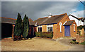
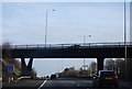
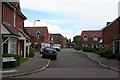
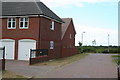
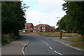
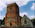
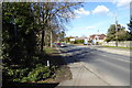
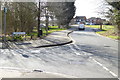
55 photos from this area
Area Information
Key information about the RG2 9DW including its size, population, and administrative classification.
- Area Type
- Postcode
- Area Size
- 6.9 hectares
- Population
- 1993
- Population Density
- 480 people/km²
House Prices in RG2 9DW
26
Properties
£414,028
Average Sold Price
£100,000
Lowest Price
£865,000
Highest Price
Showing 26 properties
| Address | Type | Beds | Baths | Last Sale Price | Last Sale Date | |
|---|---|---|---|---|---|---|
| 12 Oatlands Road, Shinfield, RG2 9DW | Bungalow | 4 | 3 | £722,000 | Jun 2024 | |
| 22 Oatlands Road, Shinfield, RG2 9DW | Retail | 3 | 2 | £709,000 | Sep 2023 | |
| 17 Oatlands Road, Shinfield, RG2 9DW | Semi-detached | 2 | 1 | £386,000 | Aug 2022 | |
| 26 Oatlands Road, Shinfield, RG2 9DW | Retail | 5 | 2 | £865,000 | Jun 2022 | |
| 21 Oatlands Road, Shinfield, RG2 9DW | Bungalow | 4 | 2 | £399,950 | Jun 2021 | |
| 15 Oatlands Road, Shinfield, RG2 9DW | Semi-detached | 2 | 1 | £265,000 | Jun 2021 | |
| 24 Oatlands Road, Shinfield, RG2 9DW | house | - | - | £540,000 | Mar 2021 | |
| 14 Oatlands Road, Shinfield, RG2 9DW | Bungalow | 2 | 1 | £500,000 | Jul 2018 | |
| 19 Oatlands Road, Shinfield, RG2 9DW | Semi-detached | 3 | 2 | £367,500 | Jan 2015 | |
| 29 Oatlands Road, Shinfield, RG2 9DW | Bungalow | 3 | - | £310,000 | Mar 2014 |
Page 1 of 3
Energy Efficiency in RG2 9DW
Amenities
Schools
| Rank | School | Type | Entry gender | Ages |
|---|
Explore more schools in this area
Go to Schools tabDemographics
Household Size
Family (3-5 people)
most common
Accommodation Type
Houses
most common
Tenure
83
majority
Ethnic Group
White
most common
Religion
N/A
most common
Household Composition
N/A
most common
Age
47
median
Adults (30-64 years)
most common
Household Deprivation
N/A
with no deprivation
NS-SEC
54
in Lower managerial occupations
Explore more demographic insights in this area
Go to Demographics tabPlanning
Planning Constraints
- Flood RiskPremium
- Ramsar Wetland SitesPremium
- Area of Outstanding Natural BeautyPremium
- Protected Nature ReservePremium
- Protected WoodlandPremium