Area Overview for RG2 0BN
Photos of RG2 0BN
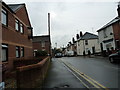
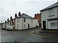
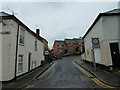
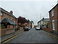
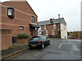
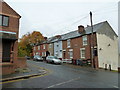
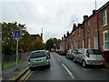
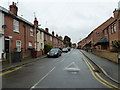
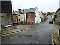
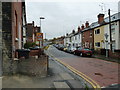
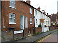
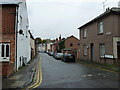
100 photos from this area
Area Information
Key information about the RG2 0BN including its size, population, and administrative classification.
- Area Type
- Postcode
- Area Size
- 2.4 hectares
- Population
- 1790
- Population Density
- 2882 people/km²
House Prices in RG2 0BN
54
Properties
£292,455
Average Sold Price
£80,000
Lowest Price
£435,000
Highest Price
Showing 54 properties
| Address | Type | Beds | Baths | Last Sale Price | Last Sale Date | |
|---|---|---|---|---|---|---|
| 114 Elgar Road, Reading, RG2 0BN | Terraced | 3 | 1 | £393,500 | Sep 2025 | |
| 158 Elgar Road, Reading, RG2 0BN | Terraced | 2 | 1 | £375,000 | Aug 2025 | |
| 162 Elgar Road, Reading, RG2 0BN | Terraced | 2 | 1 | £397,500 | Jan 2025 | |
| 112 Elgar Road, Reading, RG2 0BN | Terraced | 3 | 1 | £320,000 | Dec 2024 | |
| 160 Elgar Road, Reading, RG2 0BN | Terraced | 3 | 1 | £430,000 | Sep 2024 | |
| 142 Elgar Road, Reading, RG2 0BN | Terraced | 3 | 1 | £420,000 | Apr 2024 | |
| 126 Elgar Road, Reading, RG2 0BN | Terraced | 3 | 1 | £372,500 | Nov 2023 | |
| 168 Elgar Road, Reading, RG2 0BN | Terraced | 3 | 1 | £294,000 | Apr 2023 | |
| 118 Elgar Road, Reading, RG2 0BN | Terraced | 4 | 1 | £390,000 | Mar 2023 | |
| 190 Elgar Road, Reading, RG2 0BN | Terraced | 2 | 1 | £390,000 | Dec 2022 |
Page 1 of 6
Energy Efficiency in RG2 0BN
Amenities
Schools
| Rank | School | Type | Entry gender | Ages |
|---|
Explore more schools in this area
Go to Schools tabDemographics
Household Size
Family (3-5 people)
most common
Accommodation Type
Houses
most common
Tenure
36
majority
Ethnic Group
White
most common
Religion
N/A
most common
Household Composition
N/A
most common
Age
47
median
Adults (30-64 years)
most common
Household Deprivation
N/A
with no deprivation
NS-SEC
21
in Lower managerial occupations
Explore more demographic insights in this area
Go to Demographics tabPlanning
Planning Constraints
- Flood RiskPremium
- Ramsar Wetland SitesPremium
- Area of Outstanding Natural BeautyPremium
- Protected Nature ReservePremium
- Protected WoodlandPremium