Area Overview for GU47 8HE
Photos of GU47 8HE
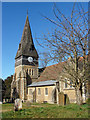
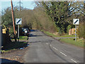
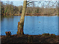
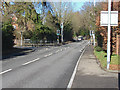
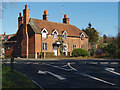
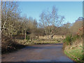
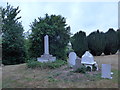
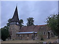
38 photos from this area
Area Information
Key information about the GU47 8HE including its size, population, and administrative classification.
- Area Type
- Postcode
- Area Size
- 2.8 hectares
- Population
- 1133
- Population Density
- 1819 people/km²
House Prices in GU47 8HE
33
Properties
£330,369
Average Sold Price
£114,000
Lowest Price
£700,000
Highest Price
Showing 33 properties
| Address | Type | Beds | Baths | Last Sale Price | Last Sale Date | |
|---|---|---|---|---|---|---|
| 54 St Michaels Road, Sandhurst, GU47 8HE | Bungalow | 2 | 1 | £450,000 | Mar 2025 | |
| 46 St Michaels Road, Sandhurst, GU47 8HE | Bungalow | 3 | 1 | £520,000 | Aug 2023 | |
| Fourleighs, 66 St Michaels Road, Sandhurst, GU47 8HE | house | - | - | £700,000 | Jun 2021 | |
| 50 St Michaels Road, Sandhurst, GU47 8HE | Semi-detached | 2 | - | £425,000 | Mar 2017 | |
| 8 St Michaels Road, Sandhurst, GU47 8HE | Semi-detached | 2 | - | £448,800 | Jun 2016 | |
| 14 St Michaels Road, Sandhurst, GU47 8HE | Semi-detached | 3 | 1 | £250,000 | Jan 2015 | |
| 16 St Michaels Road, Sandhurst, GU47 8HE | house | - | - | £379,950 | Jul 2014 | |
| 26 St Michaels Road, Sandhurst, GU47 8HE | house | - | - | £340,000 | Aug 2013 | |
| 42 St Michaels Road, Sandhurst, GU47 8HE | Bungalow | 3 | 2 | £318,000 | Jun 2013 | |
| 30 St Michaels Road, Sandhurst, GU47 8HE | house | - | - | £340,000 | Nov 2012 |
Page 1 of 4
Energy Efficiency in GU47 8HE
Amenities
Schools
| Rank | School | Type | Entry gender | Ages |
|---|
Explore more schools in this area
Go to Schools tabDemographics
Household Size
Two person
most common
Accommodation Type
Houses
most common
Tenure
90
majority
Ethnic Group
White
most common
Religion
N/A
most common
Household Composition
N/A
most common
Age
47
median
Adults (30-64 years)
most common
Household Deprivation
N/A
with no deprivation
NS-SEC
46
in Lower managerial occupations
Explore more demographic insights in this area
Go to Demographics tabPlanning
Planning Constraints
- Flood RiskPremium
- Ramsar Wetland SitesPremium
- Area of Outstanding Natural BeautyPremium
- Protected Nature ReservePremium
- Protected WoodlandPremium