Area Overview for GU47 8HU
Photos of GU47 8HU
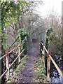
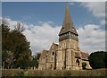
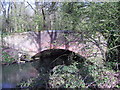
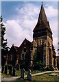
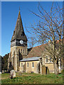
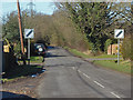
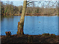
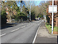
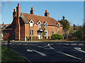
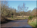
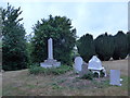
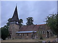
38 photos from this area
Area Information
Key information about the GU47 8HU including its size, population, and administrative classification.
- Area Type
- Postcode
- Area Size
- 1.2 hectares
- Population
- 1133
- Population Density
- 1819 people/km²
House Prices in GU47 8HU
20
Properties
£396,267
Average Sold Price
£118,250
Lowest Price
£600,000
Highest Price
Showing 20 properties
| Address | Type | Beds | Baths | Last Sale Price | Last Sale Date | |
|---|---|---|---|---|---|---|
| 12 Firtree Close, Sandhurst, GU47 8HU | Semi-detached | 4 | 3 | £600,000 | Mar 2025 | |
| 23 Firtree Close, Sandhurst, GU47 8HU | Detached | 5 | 2 | £575,000 | Mar 2025 | |
| 9 Firtree Close, Sandhurst, GU47 8HU | Detached | 4 | 2 | £595,000 | Feb 2024 | |
| 3 Firtree Close, Sandhurst, GU47 8HU | house | 4 | 2 | £510,000 | Dec 2021 | |
| 24 Firtree Close, Sandhurst, GU47 8HU | house | - | - | £585,000 | Aug 2016 | |
| 13 Firtree Close, Sandhurst, GU47 8HU | Detached | 4 | 2 | £305,000 | Mar 2010 | |
| 4 Firtree Close, Sandhurst, GU47 8HU | house | - | - | £280,000 | Mar 2010 | |
| 6 Firtree Close, Sandhurst, GU47 8HU | Semi-detached | - | - | £272,000 | Dec 2008 | |
| 10 Firtree Close, Sandhurst, GU47 8HU | house | - | - | £325,000 | Feb 2007 | |
| 1 Firtree Close, Sandhurst, GU47 8HU | Semi-detached | - | - | £340,000 | Jan 2006 |
Page 1 of 2
Energy Efficiency in GU47 8HU
Amenities
Schools
| Rank | School | Type | Entry gender | Ages |
|---|
Explore more schools in this area
Go to Schools tabDemographics
Household Size
Two person
most common
Accommodation Type
Houses
most common
Tenure
90
majority
Ethnic Group
White
most common
Religion
N/A
most common
Household Composition
N/A
most common
Age
47
median
Adults (30-64 years)
most common
Household Deprivation
N/A
with no deprivation
NS-SEC
46
in Lower managerial occupations
Explore more demographic insights in this area
Go to Demographics tabPlanning
Planning Constraints
- Flood RiskPremium
- Ramsar Wetland SitesPremium
- Area of Outstanding Natural BeautyPremium
- Protected Nature ReservePremium
- Protected WoodlandPremium