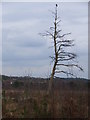
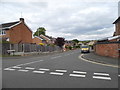
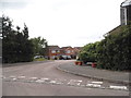
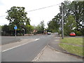
Area Overview for Sandhurst
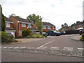
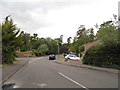
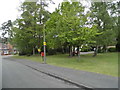
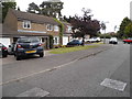
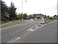
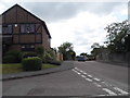
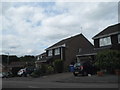
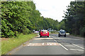
Photos of Sandhurst
Area Information
Sandhurst is a civil parish covering an area of 14.2 square kilometres with a population of 7,681. This results in a population density of 541 people per square kilometre, creating a setting that is neither sprawling nor densely packed. Living in Sandhurst offers a community defined by its established nature and resident ownership culture. The area functions as a self-contained neighbourhood where daily life revolves around local routines and familiar surroundings. You will find a community that is tightly knit, with most residents having a long-term connection to their homes. The size of the parish allows for a manageable environment where you can navigate local streets without the congestion found in larger towns. For those considering homes in Sandhurst, the scale of the area provides a balance between accessibility to amenities and the quiet of a residential district. The demographic profile further underscores this stability, as the majority of the population consists of older adults. This majority influences the character of the village, fostering a slower pace of life. When you evaluate living in this parish, the data suggests a consistent environment where local services and housing stock cater primarily to long-term residents rather than transient populations.
- Area Type
- Parish
- Area Size
- 14.2 km²
- Population
- 7681
- Population Density
- 541 people/km²
Demographics
The community profile of Sandhurst shows a distinctively older population. The median age stands at 70 years, which shapes the daily rhythm and social structures of the parish. You will find that most residents fall within this age bracket, creating a neighbourhood where life is often centred around retirement or later life stages. Home ownership is a defining feature of this demographic; 81% of households in Sandhurst are owner-occupied. This high level of ownership indicates that the vast majority of people have purchased their homes rather than renting, locking them into local communities for extended periods. The household composition data reflects this stability, though specific breakdowns for different household types are not detailed in the available figures. Ethnic diversity and religious makeup do not have specific percentages provided in the current dataset, so the community remains defined primarily by its age and ownership status. This demographic structure reduces short-term turnover and fosters a predictable environment. For you, as a potential buyer, this means a neighbourly atmosphere where established residents form the backbone of local interactions. The prevalence of older residents also suggests a demand for specific amenities, such as healthcare access, which you should research alongside your search for properties.
Household Size
Accommodation Type
Tenure
Ethnic Group
Religion
Household Composition
Age
Household Deprivation
NS-SEC
Explore more demographic insights in this area
Go to Demographics tabPlanning
Planning Constraints
- Flood RiskPremium
- Ramsar Wetland SitesPremium
- Area of Outstanding Natural BeautyPremium
- Protected Nature ReservePremium
- Protected WoodlandPremium
- Crime RiskPremium