Area Overview for Bracknell Forest (B)
Photos of Bracknell Forest (B)
Area Information
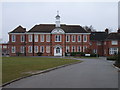
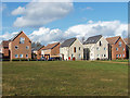
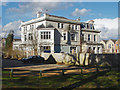
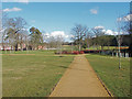
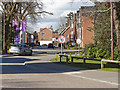
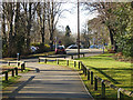
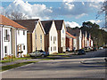
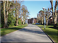
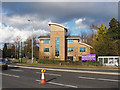
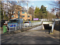
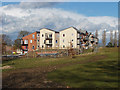
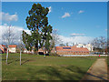
Bracknell Forest remains a distinctive borough in South East England, covering an area of 109.4 square kilometres. The district was established as Easthampstead Rural District and later became a unitary authority in 1998 after Berkshire County Council was abolished. Its history spans the designation of Bracknell as one of the first post-war new towns to the growth of the population to 64,135 by 1971. Today, the borough is centred on the twin towns of Bracknell and Sandhurst, while including the villages of Crowthorne and areas such as North Ascot, Binfield, Warfield, and Winkfield. You will find that the built and developed proportion amounts to about 35% of the total land area, offering a modern townscape alongside extensive green spaces. Swinley Forest provides rich walking and cycling trails, and more than 20% of the borough is recognised as having high wildlife value. Agricultural land covers another 24% of the area, located mainly in the north. Living in Bracknell Forest means navigating a landscape where planned development meets historical military and educational connections. The borough borders Wokingham and the Royal Borough of Windsor and Maidenhead, placing it firmly within the commuter belt of London. Your daily life here involves a mix of suburban convenience and access to significant natural reserves.
- Area Type
- District/Borough
- Area Size
- 109.4 km²
- Population
- Not available
- Population Density
- Not available
Demographics
The community within Bracknell Forest displays a clear age profile with a median age of 70. This figure indicates a population composed largely of older residents compared to national averages. Home ownership stands at 69%, suggesting a strong presence of owner-occupied households across the district. The district also contains nine Sites of Special Scientific Interest, comprising 1,911.5 hectares or 17.48% of the borough's total area. Specific villages like Sandhurst are known for their military connections, contributing to the demographic character of these specific settlements. The broad demographic structure reflects a settled population where long-term residents form the majority. While specific details on household composition and predominant ethnic groups are not quantified in the available breakdown, the overall picture is one of stability. The high level of home ownership implies that many families have remained in their properties for extended periods. This stability often correlates with deep roots in local communities and established neighbourhood patterns. When considering living in Bracknell Forest, you are looking at an area defined by this established demographic weight. The age profile and ownership rates shape the local services and social environment in significant ways.
Household Size
Accommodation Type
Tenure
Ethnic Group
Religion
Household Composition
Age
Household Deprivation
NS-SEC
Explore more demographic insights in this area
Go to Demographics tabPlanning
Planning Constraints
- Flood RiskPremium
- Ramsar Wetland SitesPremium
- Area of Outstanding Natural BeautyPremium
- Protected Nature ReservePremium
- Protected WoodlandPremium
- Crime RiskPremium