Area Overview for M28 3TE
Photos of M28 3TE
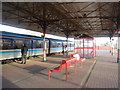
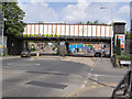
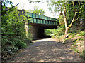
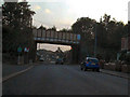


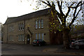
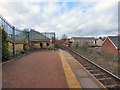
45 photos from this area
Area Information
Key information about the M28 3TE including its size, population, and administrative classification.
- Area Type
- Postcode
- Area Size
- 2.1 hectares
- Population
- 2143
- Population Density
- 2839 people/km²
House Prices in M28 3TE
39
Properties
£133,481
Average Sold Price
£37,750
Lowest Price
£232,000
Highest Price
Showing 39 properties
| Address | Type | Beds | Baths | Last Sale Price | Last Sale Date | |
|---|---|---|---|---|---|---|
| 491 Hilton Lane, Worsley, M28 3TE | Terraced | 2 | 1 | £206,000 | May 2024 | |
| 479 Hilton Lane, Worsley, M28 3TE | Terraced | 2 | 1 | £219,160 | Apr 2024 | |
| 451 Hilton Lane, Worsley, M28 3TE | Terraced | 2 | 1 | £220,000 | Apr 2024 | |
| 461 Hilton Lane, Worsley, M28 3TE | Terraced | 3 | 1 | £225,000 | Jun 2023 | |
| 459 Hilton Lane, Worsley, M28 3TE | house | - | - | £190,000 | Sep 2022 | |
| 469 Hilton Lane, Worsley, M28 3TE | Terraced | 3 | 2 | £166,000 | May 2022 | |
| 439 Hilton Lane, Worsley, M28 3TE | house | 2 | 1 | £232,000 | Dec 2021 | |
| 495 Hilton Lane, Worsley, M28 3TE | Terraced | 2 | 1 | £187,500 | Sep 2021 | |
| 509 Hilton Lane, Worsley, M28 3TE | house | - | - | £180,500 | Jun 2021 | |
| 443 Hilton Lane, Worsley, M28 3TE | Terraced | 2 | - | £125,000 | Oct 2020 |
Page 1 of 4
Energy Efficiency in M28 3TE
Amenities
Schools
| Rank | School | Type | Entry gender | Ages |
|---|
Explore more schools in this area
Go to Schools tabDemographics
Household Size
Family (3-5 people)
most common
Accommodation Type
Houses
most common
Tenure
80
majority
Ethnic Group
White
most common
Religion
N/A
most common
Household Composition
N/A
most common
Age
47
median
Adults (30-64 years)
most common
Household Deprivation
N/A
with no deprivation
NS-SEC
41
in Lower managerial occupations
Explore more demographic insights in this area
Go to Demographics tabPlanning
Planning Constraints
- Flood RiskPremium
- Ramsar Wetland SitesPremium
- Area of Outstanding Natural BeautyPremium
- Protected Nature ReservePremium
- Protected WoodlandPremium