Area Overview for L10 2LE
Photos of L10 2LE
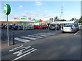
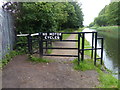
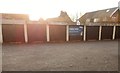
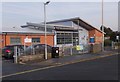
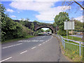
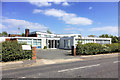
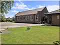
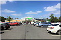
40 photos from this area
Area Information
Key information about the L10 2LE including its size, population, and administrative classification.
- Area Type
- Postcode
- Area Size
- 4293 m²
- Population
- 1360
- Population Density
- 4242 people/km²
House Prices in L10 2LE
12
Properties
£175,025
Average Sold Price
£155,200
Lowest Price
£207,500
Highest Price
Showing 12 properties
| Address | Type | Beds | Baths | Last Sale Price | Last Sale Date | |
|---|---|---|---|---|---|---|
| 2 Shrewsbury Avenue, Aintree, L10 2LE | house | - | - | £190,000 | Feb 2021 | |
| 18 Shrewsbury Avenue, Aintree, L10 2LE | house | - | - | £207,500 | Nov 2020 | |
| 24 Shrewsbury Avenue, Aintree, L10 2LE | house | - | - | £158,000 | Jun 2015 | |
| 8 Shrewsbury Avenue, Aintree, L10 2LE | house | - | - | £160,000 | Aug 2013 | |
| 10 Shrewsbury Avenue, Aintree, L10 2LE | Semi-detached | 3 | - | £155,200 | Jul 2013 | |
| 14 Shrewsbury Avenue, Aintree, L10 2LE | house | - | - | £167,000 | Jul 2010 | |
| 4 Shrewsbury Avenue, Aintree, L10 2LE | Semi-detached | - | - | £195,000 | Nov 2004 | |
| 6 Shrewsbury Avenue, Aintree, L10 2LE | Terraced | - | - | £167,500 | Oct 2004 | |
| 22 Shrewsbury Avenue, Aintree, L10 2LE | Terraced | - | - | - | - | |
| 12 Shrewsbury Avenue, Aintree, L10 2LE | Semi-detached | - | - | - | - |
Page 1 of 2
Energy Efficiency in L10 2LE
Amenities
Schools
| Rank | School | Type | Entry gender | Ages |
|---|
Explore more schools in this area
Go to Schools tabDemographics
Household Size
Two person
most common
Accommodation Type
Houses
most common
Tenure
90
majority
Ethnic Group
White
most common
Religion
N/A
most common
Household Composition
N/A
most common
Age
47
median
Adults (30-64 years)
most common
Household Deprivation
N/A
with no deprivation
NS-SEC
31
in Lower managerial occupations
Explore more demographic insights in this area
Go to Demographics tabPlanning
Planning Constraints
- Flood RiskPremium
- Ramsar Wetland SitesPremium
- Area of Outstanding Natural BeautyPremium
- Protected Nature ReservePremium
- Protected WoodlandPremium