Area Overview for CH3 7AP
Photos of CH3 7AP
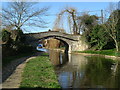

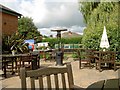
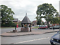
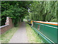
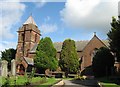
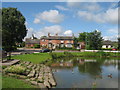

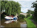
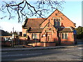
53 photos from this area
Area Information
Key information about the CH3 7AP including its size, population, and administrative classification.
- Area Type
- Postcode
- Area Size
- 9.7 hectares
- Population
- 1505
- Population Density
- 666 people/km²
House Prices in CH3 7AP
19
Properties
£580,360
Average Sold Price
£225,000
Lowest Price
£875,000
Highest Price
Showing 19 properties
| Address | Type | Beds | Baths | Last Sale Price | Last Sale Date | |
|---|---|---|---|---|---|---|
| Red Bank, Birch Heath Lane, Christleton, Chester, CH3 7AP | house | - | - | £827,240 | Dec 2023 | |
| Springwood House, Birch Heath Lane, Christleton, Chester, CH3 7AP | house | - | - | £820,000 | May 2022 | |
| The Poplars, Birch Heath Lane, Christleton, Chester, CH3 7AP | house | 3 | - | £751,000 | Oct 2021 | |
| Delamere, Birch Heath Lane, Christleton, Chester, CH3 7AP | Bungalow | - | - | £500,000 | Nov 2019 | |
| Greenway, Birch Heath Lane, Christleton, Chester, CH3 7AP | house | - | - | £545,000 | May 2019 | |
| Parkgates, Birch Heath Lane, Christleton, Chester, CH3 7AP | Bungalow | 3 | 1 | £300,000 | Mar 2015 | |
| Pine Ridge, Birch Heath Lane, Christleton, Chester, CH3 7AP | Detached | 5 | - | £875,000 | Oct 2014 | |
| The Laurels, Birch Heath Lane, Christleton, Chester, CH3 7AP | Bungalow | - | - | £380,000 | Oct 2010 | |
| 1 Birch Heath Lane, Christleton, Chester, CH3 7AP | Cottage | 4 | 1 | £225,000 | Jul 2000 | |
| Ivy Walls, Birch Heath Lane, Christleton, Chester, CH3 7AP | Detached | 4 | 2 | - | - |
Page 1 of 2
Energy Efficiency in CH3 7AP
Amenities
Schools
| Rank | School | Type | Entry gender | Ages |
|---|
Explore more schools in this area
Go to Schools tabDemographics
Household Size
Family (3-5 people)
most common
Accommodation Type
Houses
most common
Tenure
79
majority
Ethnic Group
White
most common
Religion
N/A
most common
Household Composition
N/A
most common
Age
47
median
Adults (30-64 years)
most common
Household Deprivation
N/A
with no deprivation
NS-SEC
45
in Lower managerial occupations
Explore more demographic insights in this area
Go to Demographics tabPlanning
Planning Constraints
- Flood RiskPremium
- Ramsar Wetland SitesPremium
- Area of Outstanding Natural BeautyPremium
- Protected Nature ReservePremium
- Protected WoodlandPremium