Area Overview for CH3 7BA
Photos of CH3 7BA
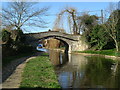

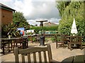
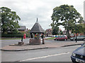
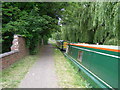
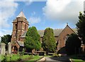
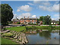
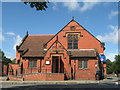
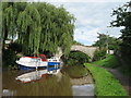
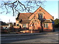
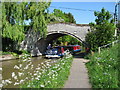
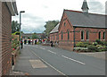
53 photos from this area
Area Information
Key information about the CH3 7BA including its size, population, and administrative classification.
- Area Type
- Postcode
- Area Size
- 32.6 hectares
- Population
- 1377
- Population Density
- 279 people/km²
House Prices in CH3 7BA
40
Properties
£576,914
Average Sold Price
£149,775
Lowest Price
£2,100,000
Highest Price
Showing 40 properties
| Address | Type | Beds | Baths | Last Sale Price | Last Sale Date | |
|---|---|---|---|---|---|---|
| Timbers, Plough Lane, Christleton, Chester, CH3 7BA | Bungalow | 4 | 2 | £750,000 | Sep 2024 | |
| Bottom Of The Wood, Plough Lane, Christleton, Chester, CH3 7BA | Semi-detached | 3 | 1 | £353,500 | Nov 2021 | |
| Parkfields Farm, Plough Lane, Christleton, Chester, CH3 7BA | Bungalow | - | - | £2,100,000 | Sep 2021 | |
| Oaklands, Plough Lane, Christleton, Chester, CH3 7BA | house | - | - | £430,000 | Aug 2020 | |
| Ravens Croft, Plough Lane, Christleton, Chester, CH3 7BA | house | - | - | £860,000 | Nov 2017 | |
| Arcana, Plough Lane, Christleton, Chester, CH3 7BA | Bungalow | - | - | £425,000 | Dec 2015 | |
| Highview, Plough Lane, Christleton, Chester, CH3 7BA | Detached | - | - | £400,000 | Sep 2013 | |
| Lyncroft, Plough Lane, Christleton, Chester, CH3 7BA | house | - | - | £230,000 | Mar 2012 | |
| The Beeches, Plough Lane, Christleton, Chester, CH3 7BA | Bungalow | - | - | £545,000 | Jul 2010 | |
| The Old Rectory, Plough Lane, Christleton, Chester, CH3 7BA | Detached | - | - | £980,000 | Feb 2007 |
Page 1 of 4
Energy Efficiency in CH3 7BA
Amenities
Schools
| Rank | School | Type | Entry gender | Ages |
|---|
Explore more schools in this area
Go to Schools tabDemographics
Household Size
Family (3-5 people)
most common
Accommodation Type
Houses
most common
Tenure
87
majority
Ethnic Group
White
most common
Religion
N/A
most common
Household Composition
N/A
most common
Age
47
median
Adults (30-64 years)
most common
Household Deprivation
N/A
with no deprivation
NS-SEC
53
in Lower managerial occupations
Explore more demographic insights in this area
Go to Demographics tabPlanning
Planning Constraints
- Flood RiskPremium
- Ramsar Wetland SitesPremium
- Area of Outstanding Natural BeautyPremium
- Protected Nature ReservePremium
- Protected WoodlandPremium