Area Overview for DH2 1RQ
Photos of DH2 1RQ
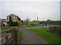
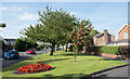
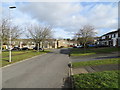
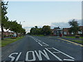


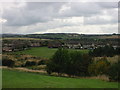
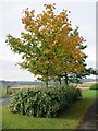
19 photos from this area
Area Information
Key information about the DH2 1RQ including its size, population, and administrative classification.
- Area Type
- Postcode
- Area Size
- 4.3 hectares
- Population
- 1402
- Population Density
- 32820 people/km²
House Prices in DH2 1RQ
37
Properties
£126,728
Average Sold Price
£51,500
Lowest Price
£195,000
Highest Price
Showing 37 properties
| Address | Type | Beds | Baths | Last Sale Price | Last Sale Date | |
|---|---|---|---|---|---|---|
| 16 Arisaig, Ouston, DH2 1RQ | house | - | - | £195,000 | Jul 2024 | |
| 47 Arisaig, Ouston, DH2 1RQ | Semi-detached | 3 | 1 | £165,000 | Jun 2024 | |
| 19 Arisaig, Ouston, DH2 1RQ | Semi-detached | 3 | 1 | £172,000 | Nov 2023 | |
| 43 Arisaig, Ouston, DH2 1RQ | Retail | 3 | 2 | £165,000 | May 2022 | |
| 6 Arisaig, Ouston, DH2 1RQ | house | 3 | - | £184,000 | Mar 2022 | |
| 27 Arisaig, Ouston, DH2 1RQ | Semi-detached | 3 | 1 | £132,000 | Dec 2019 | |
| 22 Arisaig, Ouston, DH2 1RQ | Semi-detached | 3 | 2 | £125,000 | May 2018 | |
| 7 Arisaig, Ouston, DH2 1RQ | Bungalow | 2 | 1 | £119,000 | Feb 2018 | |
| 39 Arisaig, Ouston, DH2 1RQ | Semi-detached | 3 | 2 | £155,500 | Jan 2017 | |
| 41 Arisaig, Ouston, DH2 1RQ | Semi-detached | 3 | 1 | £128,100 | Mar 2016 |
Page 1 of 4
Energy Efficiency in DH2 1RQ
Amenities
Schools
| Rank | School | Type | Entry gender | Ages |
|---|
Explore more schools in this area
Go to Schools tabDemographics
Household Size
One person
most common
Accommodation Type
Houses
most common
Tenure
70
majority
Ethnic Group
White
most common
Religion
N/A
most common
Household Composition
N/A
most common
Age
47
median
Adults (30-64 years)
most common
Household Deprivation
N/A
with no deprivation
NS-SEC
26
in Lower managerial occupations
Explore more demographic insights in this area
Go to Demographics tabPlanning
Planning Constraints
- Flood RiskPremium
- Ramsar Wetland SitesPremium
- Area of Outstanding Natural BeautyPremium
- Protected Nature ReservePremium
- Protected WoodlandPremium