Area Overview for DH2 1RP
Photos of DH2 1RP
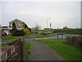
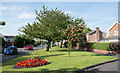
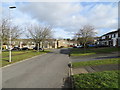
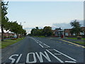
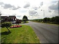
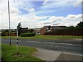
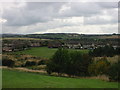
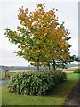
19 photos from this area
Area Information
Key information about the DH2 1RP including its size, population, and administrative classification.
- Area Type
- Postcode
- Area Size
- 5.3 hectares
- Population
- 1458
- Population Density
- 27566 people/km²
House Prices in DH2 1RP
56
Properties
£66,693
Average Sold Price
£33,000
Lowest Price
£110,000
Highest Price
Showing 56 properties
| Address | Type | Beds | Baths | Last Sale Price | Last Sale Date | |
|---|---|---|---|---|---|---|
| 87 The Brooms, Ouston, DH2 1RP | Semi-detached | - | - | £33,000 | Dec 2024 | |
| 86 The Brooms, Ouston, DH2 1RP | Semi-detached | 2 | 1 | £110,000 | Oct 2023 | |
| 99 The Brooms, Ouston, DH2 1RP | house | 2 | 1 | £52,000 | Mar 2023 | |
| 104 The Brooms, Ouston, DH2 1RP | Semi-detached | 2 | 1 | £61,000 | Jul 2017 | |
| 80 The Brooms, Ouston, DH2 1RP | Semi-detached | 2 | - | £76,000 | Jun 2014 | |
| 100 The Brooms, Ouston, DH2 1RP | house | - | - | £53,350 | Feb 2011 | |
| 83 The Brooms, Ouston, DH2 1RP | Semi-detached | - | - | £81,500 | Aug 2007 | |
| 107 The Brooms, Ouston, DH2 1RP | Bungalow | - | - | - | - | |
| 81 The Brooms, Ouston, DH2 1RP | house | - | - | - | - | |
| 106 The Brooms, Ouston, DH2 1RP | Bungalow | - | - | - | - |
Page 1 of 6
Energy Efficiency in DH2 1RP
Amenities
Schools
| Rank | School | Type | Entry gender | Ages |
|---|
Explore more schools in this area
Go to Schools tabDemographics
Household Size
Two person
most common
Accommodation Type
Houses
most common
Tenure
84
majority
Ethnic Group
White
most common
Religion
N/A
most common
Household Composition
N/A
most common
Age
47
median
Adults (30-64 years)
most common
Household Deprivation
N/A
with no deprivation
NS-SEC
37
in Lower managerial occupations
Explore more demographic insights in this area
Go to Demographics tabPlanning
Planning Constraints
- Flood RiskPremium
- Ramsar Wetland SitesPremium
- Area of Outstanding Natural BeautyPremium
- Protected Nature ReservePremium
- Protected WoodlandPremium