Area Overview for DH2 1RN
Photos of DH2 1RN
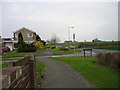
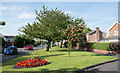
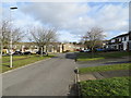
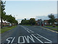
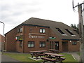
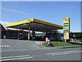
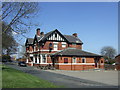
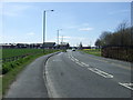
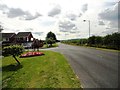
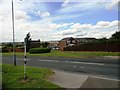
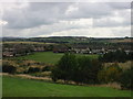
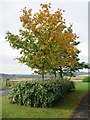
19 photos from this area
Area Information
Key information about the DH2 1RN including its size, population, and administrative classification.
- Area Type
- Postcode
- Area Size
- 2.1 hectares
- Population
- 1402
- Population Density
- 66596 people/km²
House Prices in DH2 1RN
60
Properties
£86,274
Average Sold Price
£25,500
Lowest Price
£131,000
Highest Price
Showing 60 properties
| Address | Type | Beds | Baths | Last Sale Price | Last Sale Date | |
|---|---|---|---|---|---|---|
| 68 The Oval, Ouston, DH2 1RN | house | - | - | £122,500 | Oct 2024 | |
| 85 The Oval, Ouston, DH2 1RN | Terraced | 3 | 1 | £82,000 | Jul 2024 | |
| 52 The Oval, Ouston, DH2 1RN | house | 3 | - | £125,000 | Mar 2023 | |
| 60 The Oval, Ouston, DH2 1RN | house | - | - | £93,000 | Nov 2022 | |
| 76 The Oval, Ouston, DH2 1RN | house | - | - | £131,000 | Feb 2021 | |
| 63 The Oval, Ouston, DH2 1RN | Semi-detached | 3 | - | £98,000 | Aug 2020 | |
| 69 The Oval, Ouston, DH2 1RN | Semi-detached | 3 | 1 | £115,000 | Apr 2020 | |
| 97 The Oval, Ouston, DH2 1RN | house | - | - | £59,500 | Sep 2019 | |
| 56 The Oval, Ouston, DH2 1RN | Semi-detached | 3 | - | £90,000 | Oct 2017 | |
| 67 The Oval, Ouston, DH2 1RN | house | - | - | £90,000 | Nov 2016 |
Page 1 of 6
Energy Efficiency in DH2 1RN
Amenities
Schools
| Rank | School | Type | Entry gender | Ages |
|---|
Explore more schools in this area
Go to Schools tabDemographics
Household Size
One person
most common
Accommodation Type
Houses
most common
Tenure
70
majority
Ethnic Group
White
most common
Religion
N/A
most common
Household Composition
N/A
most common
Age
47
median
Adults (30-64 years)
most common
Household Deprivation
N/A
with no deprivation
NS-SEC
26
in Lower managerial occupations
Explore more demographic insights in this area
Go to Demographics tabPlanning
Planning Constraints
- Flood RiskPremium
- Ramsar Wetland SitesPremium
- Area of Outstanding Natural BeautyPremium
- Protected Nature ReservePremium
- Protected WoodlandPremium