Area Overview for DH2 1UE
Photos of DH2 1UE
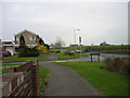
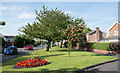
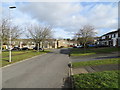
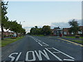
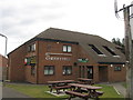

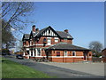
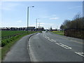
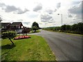
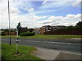
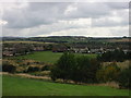
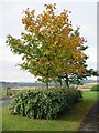
19 photos from this area
Area Information
Key information about the DH2 1UE including its size, population, and administrative classification.
- Area Type
- Postcode
- Area Size
- 5.0 hectares
- Population
- 1458
- Population Density
- 2777 people/km²
House Prices in DH2 1UE
29
Properties
£114,965
Average Sold Price
£5,550
Lowest Price
£200,000
Highest Price
Showing 29 properties
| Address | Type | Beds | Baths | Last Sale Price | Last Sale Date | |
|---|---|---|---|---|---|---|
| 108 Melbeck Drive, Ouston, DH2 1UE | house | 3 | 1 | £200,000 | Jul 2025 | |
| 104 Melbeck Drive, Ouston, DH2 1UE | Semi-detached | 2 | 1 | £158,000 | Apr 2024 | |
| 102 Melbeck Drive, Ouston, DH2 1UE | Terraced | - | - | £5,550 | Mar 2022 | |
| 120 Melbeck Drive, Ouston, DH2 1UE | Bungalow | - | - | £172,000 | Jan 2022 | |
| 96 Melbeck Drive, Ouston, DH2 1UE | Semi-detached | 3 | - | £138,500 | Mar 2017 | |
| 88 Melbeck Drive, Ouston, DH2 1UE | house | 2 | - | £115,000 | Aug 2016 | |
| 86 Melbeck Drive, Ouston, DH2 1UE | house | - | - | £140,650 | Aug 2010 | |
| 116 Melbeck Drive, Ouston, DH2 1UE | Semi-detached | - | - | £149,300 | Dec 2007 | |
| 118 Melbeck Drive, Ouston, DH2 1UE | Semi-detached | - | - | £150,000 | Jul 2006 | |
| 80 Melbeck Drive, Ouston, DH2 1UE | Detached | 4 | 2 | £184,000 | Aug 2005 |
Page 1 of 3
Energy Efficiency in DH2 1UE
Amenities
Schools
| Rank | School | Type | Entry gender | Ages |
|---|
Explore more schools in this area
Go to Schools tabDemographics
Household Size
Two person
most common
Accommodation Type
Houses
most common
Tenure
84
majority
Ethnic Group
White
most common
Religion
N/A
most common
Household Composition
N/A
most common
Age
47
median
Adults (30-64 years)
most common
Household Deprivation
N/A
with no deprivation
NS-SEC
37
in Lower managerial occupations
Explore more demographic insights in this area
Go to Demographics tabPlanning
Planning Constraints
- Flood RiskPremium
- Ramsar Wetland SitesPremium
- Area of Outstanding Natural BeautyPremium
- Protected Nature ReservePremium
- Protected WoodlandPremium