Area Overview for EN1 2LE
Photos of EN1 2LE
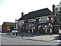
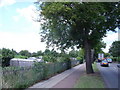
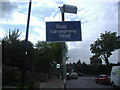
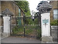
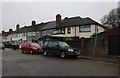
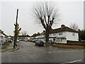
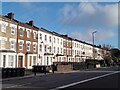
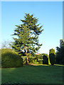
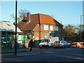
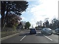
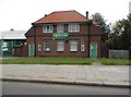
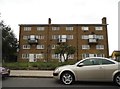
23 photos from this area
Area Information
Key information about the EN1 2LE including its size, population, and administrative classification.
- Area Type
- Postcode
- Area Size
- 6230 m²
- Population
- 1562
- Population Density
- 6403 people/km²
House Prices in EN1 2LE
20
Properties
£521,479
Average Sold Price
£129,500
Lowest Price
£780,000
Highest Price
Showing 20 properties
| Address | Type | Beds | Baths | Last Sale Price | Last Sale Date | |
|---|---|---|---|---|---|---|
| 6 Brendon Way, Enfield, EN1 2LE | Semi-detached | 4 | 2 | £746,000 | Mar 2025 | |
| 8 Brendon Way, Enfield, EN1 2LE | Semi-detached | 4 | 2 | £780,000 | Nov 2024 | |
| 16 Brendon Way, Enfield, EN1 2LE | Semi-detached | 3 | 2 | £659,200 | May 2024 | |
| 38 Brendon Way, Enfield, EN1 2LE | house | - | - | £650,000 | Sep 2021 | |
| 40 Brendon Way, Enfield, EN1 2LE | Semi-detached | 3 | 1 | £650,000 | Aug 2019 | |
| 20 Brendon Way, Enfield, EN1 2LE | Semi-detached | 3 | 1 | £555,000 | Aug 2019 | |
| 14 Brendon Way, Enfield, EN1 2LE | Semi-detached | 4 | 1 | £596,000 | Oct 2018 | |
| 12 Brendon Way, Enfield, EN1 2LE | Semi-detached | 3 | 1 | £560,000 | Jan 2017 | |
| 34 Brendon Way, Enfield, EN1 2LE | house | - | - | £400,000 | Feb 2011 | |
| 42 Brendon Way, Enfield, EN1 2LE | Semi-detached | - | - | £510,000 | Sep 2008 |
Page 1 of 2
Energy Efficiency in EN1 2LE
Amenities
Schools
| Rank | School | Type | Entry gender | Ages |
|---|
Explore more schools in this area
Go to Schools tabDemographics
Household Size
Family (3-5 people)
most common
Accommodation Type
Houses
most common
Tenure
86
majority
Ethnic Group
White
most common
Religion
N/A
most common
Household Composition
N/A
most common
Age
47
median
Adults (30-64 years)
most common
Household Deprivation
N/A
with no deprivation
NS-SEC
35
in Lower managerial occupations
Explore more demographic insights in this area
Go to Demographics tabPlanning
Planning Constraints
- Flood RiskPremium
- Ramsar Wetland SitesPremium
- Area of Outstanding Natural BeautyPremium
- Protected Nature ReservePremium
- Protected WoodlandPremium