Area Overview for EN1 2JB
Photos of EN1 2JB
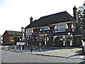
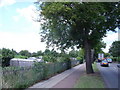
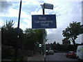
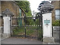
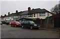
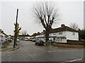
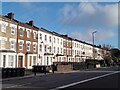
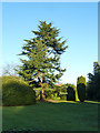
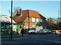

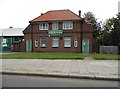
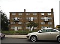
23 photos from this area
Area Information
Key information about the EN1 2JB including its size, population, and administrative classification.
- Area Type
- Postcode
- Area Size
- 9540 m²
- Population
- 1562
- Population Density
- 6403 people/km²
House Prices in EN1 2JB
20
Properties
£491,304
Average Sold Price
£198,500
Lowest Price
£740,000
Highest Price
Showing 20 properties
| Address | Type | Beds | Baths | Last Sale Price | Last Sale Date | |
|---|---|---|---|---|---|---|
| 14 Manorway, Enfield, EN1 2JB | Bungalow | 3 | 1 | £630,000 | Aug 2024 | |
| 12 Manorway, Enfield, EN1 2JB | Bungalow | 2 | 1 | £635,000 | Dec 2022 | |
| 17 Manorway, Enfield, EN1 2JB | Bungalow | 2 | 1 | £512,500 | Mar 2021 | |
| 19 Manorway, Enfield, EN1 2JB | Bungalow | 2 | 1 | £570,000 | Feb 2021 | |
| 8 Manorway, Enfield, EN1 2JB | Semi-detached | 3 | 1 | £740,000 | Oct 2019 | |
| 2 Manorway, Enfield, EN1 2JB | Semi-detached | 3 | 3 | £622,000 | May 2018 | |
| 1 Manorway, Enfield, EN1 2JB | Bungalow | 3 | 2 | £472,500 | Aug 2014 | |
| 18 Manorway, Enfield, EN1 2JB | Bungalow | 5 | 2 | £610,000 | Jul 2014 | |
| 15 Manorway, Enfield, EN1 2JB | Semi-detached | 3 | 1 | £402,500 | Apr 2014 | |
| 13 Manorway, Enfield, EN1 2JB | Bungalow | - | - | £367,000 | Apr 2012 |
Page 1 of 2
Energy Efficiency in EN1 2JB
Amenities
Schools
| Rank | School | Type | Entry gender | Ages |
|---|
Explore more schools in this area
Go to Schools tabDemographics
Household Size
Family (3-5 people)
most common
Accommodation Type
Houses
most common
Tenure
86
majority
Ethnic Group
White
most common
Religion
N/A
most common
Household Composition
N/A
most common
Age
47
median
Adults (30-64 years)
most common
Household Deprivation
N/A
with no deprivation
NS-SEC
35
in Lower managerial occupations
Explore more demographic insights in this area
Go to Demographics tabPlanning
Planning Constraints
- Flood RiskPremium
- Ramsar Wetland SitesPremium
- Area of Outstanding Natural BeautyPremium
- Protected Nature ReservePremium
- Protected WoodlandPremium