Area Overview for EN1 2JD
Photos of EN1 2JD
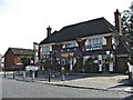
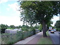
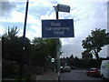
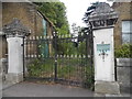
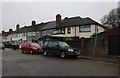
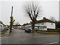


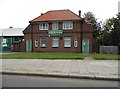
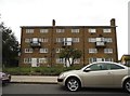
23 photos from this area
Area Information
Key information about the EN1 2JD including its size, population, and administrative classification.
- Area Type
- Postcode
- Area Size
- 1.2 hectares
- Population
- 1562
- Population Density
- 6403 people/km²
House Prices in EN1 2JD
24
Properties
£457,711
Average Sold Price
£146,500
Lowest Price
£760,000
Highest Price
Showing 24 properties
| Address | Type | Beds | Baths | Last Sale Price | Last Sale Date | |
|---|---|---|---|---|---|---|
| 35 Manorway, Enfield, EN1 2JD | Semi-detached | 2 | 1 | £660,000 | Mar 2025 | |
| 27 Manorway, Enfield, EN1 2JD | Semi-detached | 3 | - | £420,000 | Feb 2022 | |
| 31A Manorway, Enfield, EN1 2JD | Semi-detached | 3 | 2 | £760,000 | Oct 2020 | |
| 22 Manorway, Enfield, EN1 2JD | Bungalow | 3 | 1 | £700,000 | Dec 2019 | |
| 31 Manorway, Enfield, EN1 2JD | Semi-detached | 3 | 2 | £755,000 | Oct 2019 | |
| 42 Manorway, Enfield, EN1 2JD | Bungalow | 2 | 1 | £575,000 | Apr 2019 | |
| 38 Manorway, Enfield, EN1 2JD | Semi-detached | 2 | 1 | £550,000 | Nov 2018 | |
| 34 Manorway, Enfield, EN1 2JD | Semi-detached | 2 | 1 | £550,000 | Jun 2018 | |
| 37 Manorway, Enfield, EN1 2JD | Semi-detached | 3 | 2 | £450,000 | Jan 2014 | |
| 26 Manorway, Enfield, EN1 2JD | Detached | - | - | £391,000 | Mar 2012 |
Page 1 of 3
Energy Efficiency in EN1 2JD
Amenities
Schools
| Rank | School | Type | Entry gender | Ages |
|---|
Explore more schools in this area
Go to Schools tabDemographics
Household Size
Family (3-5 people)
most common
Accommodation Type
Houses
most common
Tenure
86
majority
Ethnic Group
White
most common
Religion
N/A
most common
Household Composition
N/A
most common
Age
47
median
Adults (30-64 years)
most common
Household Deprivation
N/A
with no deprivation
NS-SEC
35
in Lower managerial occupations
Explore more demographic insights in this area
Go to Demographics tabPlanning
Planning Constraints
- Flood RiskPremium
- Ramsar Wetland SitesPremium
- Area of Outstanding Natural BeautyPremium
- Protected Nature ReservePremium
- Protected WoodlandPremium