Area Overview for SG13 7JD
Photos of SG13 7JD
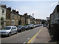
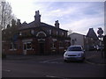
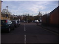
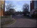
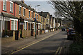
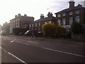
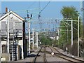
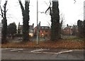

35 photos from this area
Area Information
Key information about the SG13 7JD including its size, population, and administrative classification.
- Area Type
- Postcode
- Area Size
- 2.0 hectares
- Population
- 2424
- Population Density
- 2193 people/km²
House Prices in SG13 7JD
39
Properties
£353,131
Average Sold Price
£95,000
Lowest Price
£646,000
Highest Price
Showing 39 properties
| Address | Type | Beds | Baths | Last Sale Price | Last Sale Date | |
|---|---|---|---|---|---|---|
| 38 Woodland Mount, Hertford, SG13 7JD | Semi-detached | 4 | 2 | £646,000 | Nov 2025 | |
| 14 Woodland Mount, Hertford, SG13 7JD | Semi-detached | 4 | 2 | £620,000 | Jan 2025 | |
| 34 Woodland Mount, Hertford, SG13 7JD | Semi-detached | 5 | 2 | £635,000 | Nov 2024 | |
| 16 Woodland Mount, Hertford, SG13 7JD | Semi-detached | 4 | 2 | £633,350 | Apr 2024 | |
| 42 Woodland Mount, Hertford, SG13 7JD | Semi-detached | 4 | 2 | £590,000 | Jan 2024 | |
| 11 Woodland Mount, Hertford, SG13 7JD | house | - | - | £625,000 | Feb 2022 | |
| 23 Woodland Mount, Hertford, SG13 7JD | house | - | - | £480,000 | Sep 2021 | |
| 32 Woodland Mount, Hertford, SG13 7JD | Semi-detached | 4 | 2 | £545,000 | Jun 2021 | |
| 43 Woodland Mount, Hertford, SG13 7JD | Semi-detached | 3 | 1 | £405,000 | Aug 2017 | |
| 37 Woodland Mount, Hertford, SG13 7JD | Semi-detached | 3 | 2 | £424,950 | May 2017 |
Page 1 of 4
Energy Efficiency in SG13 7JD
Amenities
Schools
| Rank | School | Type | Entry gender | Ages |
|---|
Explore more schools in this area
Go to Schools tabDemographics
Household Size
Family (3-5 people)
most common
Accommodation Type
Houses
most common
Tenure
73
majority
Ethnic Group
White
most common
Religion
N/A
most common
Household Composition
N/A
most common
Age
47
median
Adults (30-64 years)
most common
Household Deprivation
N/A
with no deprivation
NS-SEC
50
in Lower managerial occupations
Explore more demographic insights in this area
Go to Demographics tabPlanning
Planning Constraints
- Flood RiskPremium
- Ramsar Wetland SitesPremium
- Area of Outstanding Natural BeautyPremium
- Protected Nature ReservePremium
- Protected WoodlandPremium