Area Overview for SG13 7JF
Photos of SG13 7JF
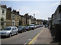
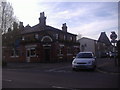
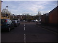
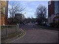
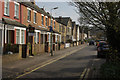
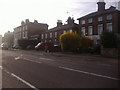
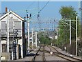
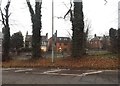
35 photos from this area
Area Information
Key information about the SG13 7JF including its size, population, and administrative classification.
- Area Type
- Postcode
- Area Size
- 2.8 hectares
- Population
- 2424
- Population Density
- 2193 people/km²
House Prices in SG13 7JF
44
Properties
£348,144
Average Sold Price
£162,500
Lowest Price
£645,000
Highest Price
Showing 44 properties
| Address | Type | Beds | Baths | Last Sale Price | Last Sale Date | |
|---|---|---|---|---|---|---|
| 46 Woodlands Road, Hertford, SG13 7JF | Detached | 3 | 2 | £645,000 | Oct 2025 | |
| 49 Woodlands Road, Hertford, SG13 7JF | Terraced | 3 | 1 | £490,000 | Jun 2025 | |
| 30 Woodlands Road, Hertford, SG13 7JF | Terraced | 3 | 1 | £499,999 | Jan 2025 | |
| 71 Woodlands Road, Hertford, SG13 7JF | Terraced | 3 | 1 | £500,000 | Feb 2021 | |
| 45 Woodlands Road, Hertford, SG13 7JF | Terraced | 3 | 1 | £500,000 | Dec 2020 | |
| 32 Woodlands Road, Hertford, SG13 7JF | Terraced | 4 | 2 | £445,000 | Dec 2020 | |
| 67 Woodlands Road, Hertford, SG13 7JF | Terraced | 3 | 1 | £415,000 | Sep 2020 | |
| 79 Woodlands Road, Hertford, SG13 7JF | house | - | - | £415,000 | Nov 2019 | |
| 63 Woodlands Road, Hertford, SG13 7JF | Terraced | 3 | 1 | £402,500 | Feb 2019 | |
| 61 Woodlands Road, Hertford, SG13 7JF | house | - | - | £362,000 | Aug 2016 |
Page 1 of 5
Energy Efficiency in SG13 7JF
Amenities
Schools
| Rank | School | Type | Entry gender | Ages |
|---|
Explore more schools in this area
Go to Schools tabDemographics
Household Size
Family (3-5 people)
most common
Accommodation Type
Houses
most common
Tenure
73
majority
Ethnic Group
White
most common
Religion
N/A
most common
Household Composition
N/A
most common
Age
47
median
Adults (30-64 years)
most common
Household Deprivation
N/A
with no deprivation
NS-SEC
50
in Lower managerial occupations
Explore more demographic insights in this area
Go to Demographics tabPlanning
Planning Constraints
- Flood RiskPremium
- Ramsar Wetland SitesPremium
- Area of Outstanding Natural BeautyPremium
- Protected Nature ReservePremium
- Protected WoodlandPremium