Area Overview for NR33 8LB
Photos of NR33 8LB
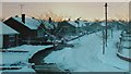
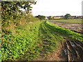
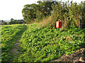
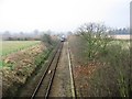
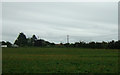
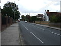
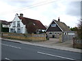
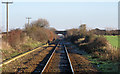
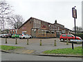
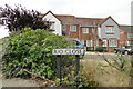
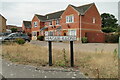
62 photos from this area
Area Information
Key information about the NR33 8LB including its size, population, and administrative classification.
- Area Type
- Postcode
- Area Size
- 1.3 hectares
- Population
- 1552
- Population Density
- 4352 people/km²
House Prices in NR33 8LB
46
Properties
£116,937
Average Sold Price
£29,500
Lowest Price
£215,000
Highest Price
Showing 46 properties
| Address | Type | Beds | Baths | Last Sale Price | Last Sale Date | |
|---|---|---|---|---|---|---|
| 76 Cowslip Crescent, Lowestoft, NR33 8LB | Maisonette | 2 | 1 | £128,000 | May 2025 | |
| 127 Cowslip Crescent, Lowestoft, NR33 8LB | Terraced | 3 | 1 | £215,000 | Jul 2024 | |
| 87 Cowslip Crescent, Lowestoft, NR33 8LB | Terraced | 2 | 1 | £177,500 | May 2024 | |
| 82 Cowslip Crescent, Lowestoft, NR33 8LB | house | - | - | £162,000 | May 2021 | |
| 89 Cowslip Crescent, Lowestoft, NR33 8LB | Terraced | 2 | 1 | £140,000 | Nov 2020 | |
| 101 Cowslip Crescent, Lowestoft, NR33 8LB | house | - | - | £152,000 | Nov 2020 | |
| 88 Cowslip Crescent, Lowestoft, NR33 8LB | house | - | - | £180,000 | Oct 2020 | |
| 129 Cowslip Crescent, Lowestoft, NR33 8LB | house | - | - | £140,000 | May 2020 | |
| 78 Cowslip Crescent, Lowestoft, NR33 8LB | house | - | - | £195,000 | Apr 2019 | |
| 119 Cowslip Crescent, Lowestoft, NR33 8LB | Terraced | 2 | - | £123,000 | Oct 2017 |
Page 1 of 5
Energy Efficiency in NR33 8LB
Amenities
Schools
| Rank | School | Type | Entry gender | Ages |
|---|
Explore more schools in this area
Go to Schools tabDemographics
Household Size
Family (3-5 people)
most common
Accommodation Type
Houses
most common
Tenure
49
majority
Ethnic Group
White
most common
Religion
N/A
most common
Household Composition
N/A
most common
Age
47
median
Adults (30-64 years)
most common
Household Deprivation
N/A
with no deprivation
NS-SEC
21
in Lower managerial occupations
Explore more demographic insights in this area
Go to Demographics tabPlanning
Planning Constraints
- Flood RiskPremium
- Ramsar Wetland SitesPremium
- Area of Outstanding Natural BeautyPremium
- Protected Nature ReservePremium
- Protected WoodlandPremium