Area Overview for NR14 6DG
Photos of NR14 6DG
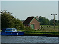
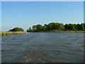
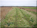
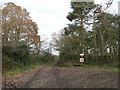
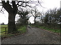
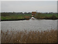
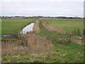
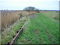
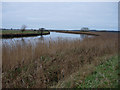
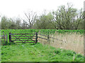
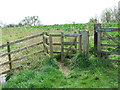
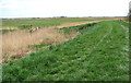
22 photos from this area
Area Information
Key information about the NR14 6DG including its size, population, and administrative classification.
- Area Type
- Postcode
- Area Size
- 3.0 km²
- Population
- 1248
- Population Density
- 77 people/km²
House Prices in NR14 6DG
38
Properties
£176,900
Average Sold Price
£58,000
Lowest Price
£370,000
Highest Price
Showing 38 properties
| Address | Type | Beds | Baths | Last Sale Price | Last Sale Date | |
|---|---|---|---|---|---|---|
| 31 Langley Green, Langley, NR14 6DG | Terraced | 3 | 1 | £181,000 | Aug 2023 | |
| 35 Langley Green, Langley, NR14 6DG | Detached | 3 | 1 | £150,000 | Mar 2019 | |
| Haven House, Langley Green, Langley, NR14 6DG | Detached | 6 | 3 | £340,000 | Oct 2017 | |
| 36 Langley Green, Langley, NR14 6DG | Semi-detached | 4 | 2 | £210,000 | Jul 2007 | |
| 29 Langley Green, Langley, NR14 6DG | house | - | - | £370,000 | Jun 2007 | |
| 37 Langley Green, Langley, NR14 6DG | Detached | 4 | 2 | £190,000 | May 2007 | |
| 43 Langley Green, Langley, NR14 6DG | house | - | - | £145,000 | Jun 2002 | |
| 42 Langley Green, Langley, NR14 6DG | Semi-detached | - | - | £58,000 | Dec 1999 | |
| 30 Langley Green, Langley, NR14 6DG | Terraced | - | - | £65,000 | Mar 1997 | |
| 33 Langley Green, Langley, NR14 6DG | Terraced | - | - | £60,000 | Jan 1995 |
Page 1 of 4
Energy Efficiency in NR14 6DG
Amenities
Schools
| Rank | School | Type | Entry gender | Ages |
|---|
Explore more schools in this area
Go to Schools tabDemographics
Household Size
Two person
most common
Accommodation Type
Houses
most common
Tenure
68
majority
Ethnic Group
White
most common
Religion
N/A
most common
Household Composition
N/A
most common
Age
47
median
Adults (30-64 years)
most common
Household Deprivation
N/A
with no deprivation
NS-SEC
31
in Lower managerial occupations
Explore more demographic insights in this area
Go to Demographics tabPlanning
Planning Constraints
- Flood RiskPremium
- Ramsar Wetland SitesPremium
- Area of Outstanding Natural BeautyPremium
- Protected Nature ReservePremium
- Protected WoodlandPremium