Area Overview for NR13 3SA
Photos of NR13 3SA

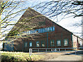
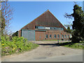
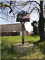
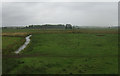
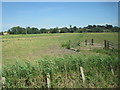
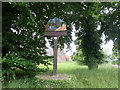
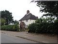
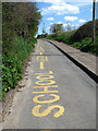
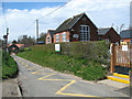
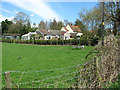
37 photos from this area
Area Information
Key information about the NR13 3SA including its size, population, and administrative classification.
- Area Type
- Postcode
- Area Size
- 27.9 hectares
- Population
- 1176
- Population Density
- 54 people/km²
House Prices in NR13 3SA
15
Properties
£178,672
Average Sold Price
£26,223
Lowest Price
£465,000
Highest Price
Showing 15 properties
| Address | Type | Beds | Baths | Last Sale Price | Last Sale Date | |
|---|---|---|---|---|---|---|
| Birds Nest Cottage, School Lane, Cantley, NR13 3SA | Semi-detached | 2 | 1 | £262,500 | May 2021 | |
| Kildare, School Lane, Cantley, NR13 3SA | Bungalow | 4 | 1 | £465,000 | Feb 2019 | |
| Hame, School Lane, Cantley, NR13 3SA | house | - | - | £168,000 | Aug 2018 | |
| Milfraen, School Lane, Cantley, NR13 3SA | Bungalow | 3 | 1 | £345,000 | Jan 2018 | |
| Valley View, School Lane, Cantley, NR13 3SA | house | - | - | £245,000 | Mar 2011 | |
| West View, School Lane, Cantley, NR13 3SA | Bungalow | 3 | 1 | £130,000 | Jun 2004 | |
| Meadowbanks, School Lane, Cantley, NR13 3SA | Detached | - | - | £59,000 | Mar 1999 | |
| Highfield, School Lane, Cantley, NR13 3SA | Detached | 4 | 3 | £26,223 | Oct 1998 | |
| Cresta, School Lane, Cantley, NR13 3SA | Detached | - | - | £30,000 | Dec 1996 | |
| Highbanks, School Lane, Cantley, NR13 3SA | Detached | - | - | £56,000 | Jan 1996 |
Page 1 of 2
Energy Efficiency in NR13 3SA
Amenities
Schools
| Rank | School | Type | Entry gender | Ages |
|---|
Explore more schools in this area
Go to Schools tabDemographics
Household Size
Two person
most common
Accommodation Type
Houses
most common
Tenure
78
majority
Ethnic Group
White
most common
Religion
N/A
most common
Household Composition
N/A
most common
Age
47
median
Adults (30-64 years)
most common
Household Deprivation
N/A
with no deprivation
NS-SEC
32
in Lower managerial occupations
Explore more demographic insights in this area
Go to Demographics tabPlanning
Planning Constraints
- Flood RiskPremium
- Ramsar Wetland SitesPremium
- Area of Outstanding Natural BeautyPremium
- Protected Nature ReservePremium
- Protected WoodlandPremium