Area Overview for AL1 5PD
Photos of AL1 5PD
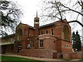
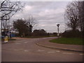
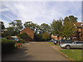
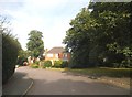
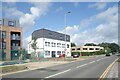
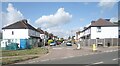
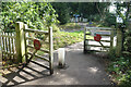
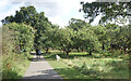
26 photos from this area
Area Information
Key information about the AL1 5PD including its size, population, and administrative classification.
- Area Type
- Postcode
- Area Size
- 8051 m²
- Population
- 1578
- Population Density
- 5809 people/km²
House Prices in AL1 5PD
17
Properties
£649,808
Average Sold Price
£60,000
Lowest Price
£1,137,500
Highest Price
Showing 17 properties
| Address | Type | Beds | Baths | Last Sale Price | Last Sale Date | |
|---|---|---|---|---|---|---|
| 1 Lynton Avenue, St Albans, AL1 5PD | Detached | 3 | 1 | £825,000 | Jan 2025 | |
| 5 Lynton Avenue, St Albans, AL1 5PD | Semi-detached | 4 | 1 | £915,000 | Feb 2024 | |
| 6 Lynton Avenue, St Albans, AL1 5PD | Semi-detached | 5 | 2 | £1,045,000 | Dec 2022 | |
| 11 Lynton Avenue, St Albans, AL1 5PD | house | 3 | 2 | £1,137,500 | Oct 2022 | |
| 10 Lynton Avenue, St Albans, AL1 5PD | Semi-detached | 5 | 3 | £1,100,000 | Apr 2022 | |
| 13 Lynton Avenue, St Albans, AL1 5PD | Semi-detached | 3 | - | £650,000 | Jul 2019 | |
| 8 Lynton Avenue, St Albans, AL1 5PD | Semi-detached | 4 | 3 | £605,000 | Dec 2014 | |
| 7 Lynton Avenue, St Albans, AL1 5PD | Semi-detached | 3 | - | £400,000 | Jun 2012 | |
| 2 Lynton Avenue, St Albans, AL1 5PD | Detached | 5 | 2 | £545,000 | May 2007 | |
| 1A Lynton Avenue, St Albans, AL1 5PD | Semi-detached | - | - | £565,000 | Dec 2006 |
Page 1 of 2
Energy Efficiency in AL1 5PD
Amenities
Schools
| Rank | School | Type | Entry gender | Ages |
|---|
Explore more schools in this area
Go to Schools tabDemographics
Household Size
Family (3-5 people)
most common
Accommodation Type
Houses
most common
Tenure
45
majority
Ethnic Group
White
most common
Religion
N/A
most common
Household Composition
N/A
most common
Age
47
median
Adults (30-64 years)
most common
Household Deprivation
N/A
with no deprivation
NS-SEC
35
in Lower managerial occupations
Explore more demographic insights in this area
Go to Demographics tabPlanning
Planning Constraints
- Flood RiskPremium
- Ramsar Wetland SitesPremium
- Area of Outstanding Natural BeautyPremium
- Protected Nature ReservePremium
- Protected WoodlandPremium