Area Overview for AL1 5AT
Photos of AL1 5AT
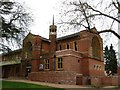
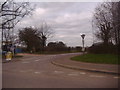
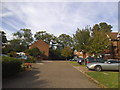
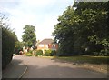
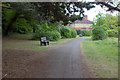
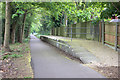
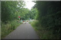
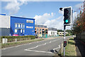
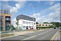
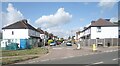
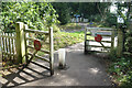
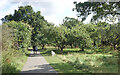
26 photos from this area
Area Information
Key information about the AL1 5AT including its size, population, and administrative classification.
- Area Type
- Postcode
- Area Size
- 2.0 hectares
- Population
- 1578
- Population Density
- 5809 people/km²
House Prices in AL1 5AT
64
Properties
£247,210
Average Sold Price
£48,000
Lowest Price
£468,000
Highest Price
Showing 64 properties
| Address | Type | Beds | Baths | Last Sale Price | Last Sale Date | |
|---|---|---|---|---|---|---|
| 26 Richard Stagg Close, St Albans, AL1 5AT | Flat | 1 | 1 | £285,000 | Jan 2025 | |
| 32 Richard Stagg Close, St Albans, AL1 5AT | house | - | - | £450,000 | Jun 2024 | |
| 30 Richard Stagg Close, St Albans, AL1 5AT | Terraced | 3 | 2 | £450,000 | Feb 2023 | |
| 34 Richard Stagg Close, St Albans, AL1 5AT | Retail | 3 | 1 | £468,000 | Oct 2022 | |
| 48 Richard Stagg Close, St Albans, AL1 5AT | Maisonette | - | - | £238,000 | Sep 2021 | |
| 15 Richard Stagg Close, St Albans, AL1 5AT | house | 3 | 1 | £422,000 | May 2020 | |
| 59 Richard Stagg Close, St Albans, AL1 5AT | Maisonette | 1 | 1 | £235,000 | Dec 2018 | |
| 2 Richard Stagg Close, St Albans, AL1 5AT | Maisonette | 1 | 1 | £250,000 | Apr 2018 | |
| 56 Richard Stagg Close, St Albans, AL1 5AT | Maisonette | 1 | 1 | £149,000 | Sep 2013 | |
| 4 Richard Stagg Close, St Albans, AL1 5AT | Maisonette | - | - | £170,001 | Jul 2013 |
Page 1 of 7
Energy Efficiency in AL1 5AT
Amenities
Schools
| Rank | School | Type | Entry gender | Ages |
|---|
Explore more schools in this area
Go to Schools tabDemographics
Household Size
Family (3-5 people)
most common
Accommodation Type
Houses
most common
Tenure
45
majority
Ethnic Group
White
most common
Religion
N/A
most common
Household Composition
N/A
most common
Age
47
median
Adults (30-64 years)
most common
Household Deprivation
N/A
with no deprivation
NS-SEC
35
in Lower managerial occupations
Explore more demographic insights in this area
Go to Demographics tabPlanning
Planning Constraints
- Flood RiskPremium
- Ramsar Wetland SitesPremium
- Area of Outstanding Natural BeautyPremium
- Protected Nature ReservePremium
- Protected WoodlandPremium