Area Overview for AL1 5AF
Photos of AL1 5AF
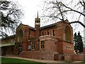
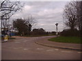
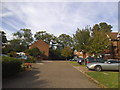
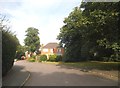
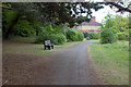
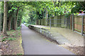
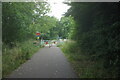
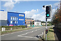
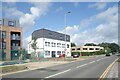
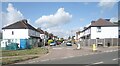
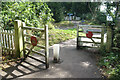
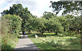
26 photos from this area
Area Information
Key information about the AL1 5AF including its size, population, and administrative classification.
- Area Type
- Postcode
- Area Size
- 5518 m²
- Population
- 1932
- Population Density
- 557 people/km²
House Prices in AL1 5AF
12
Properties
£277,438
Average Sold Price
£120,500
Lowest Price
£450,000
Highest Price
Showing 12 properties
| Address | Type | Beds | Baths | Last Sale Price | Last Sale Date | |
|---|---|---|---|---|---|---|
| 2A Drakes Drive, St Albans, AL1 5AF | Terraced | 2 | 1 | £441,000 | Apr 2022 | |
| 2 Drakes Drive, St Albans, AL1 5AF | Terraced | 3 | - | £420,000 | Jan 2015 | |
| 16 Drakes Drive, St Albans, AL1 5AF | Semi-detached | 4 | 2 | £450,000 | Sep 2012 | |
| 18 Drakes Drive, St Albans, AL1 5AF | Semi-detached | 5 | 3 | £235,000 | Aug 2005 | |
| 20 Drakes Drive, St Albans, AL1 5AF | Semi-detached | - | - | £195,000 | Jun 2002 | |
| 22 Drakes Drive, St Albans, AL1 5AF | Semi-detached | - | - | £143,000 | Jun 2001 | |
| 14 Drakes Drive, St Albans, AL1 5AF | Semi-detached | - | - | £215,000 | Nov 2000 | |
| 6 Drakes Drive, St Albans, AL1 5AF | Semi-detached | - | - | £120,500 | Oct 1999 | |
| 10 Drakes Drive, St Albans, AL1 5AF | Semi-detached | - | - | - | - | |
| 12 Drakes Drive, St Albans, AL1 5AF | Semi-detached | - | - | - | - |
Page 1 of 2
Energy Efficiency in AL1 5AF
Amenities
Schools
| Rank | School | Type | Entry gender | Ages |
|---|
Explore more schools in this area
Go to Schools tabDemographics
Household Size
Family (3-5 people)
most common
Accommodation Type
Houses
most common
Tenure
82
majority
Ethnic Group
White
most common
Religion
N/A
most common
Household Composition
N/A
most common
Age
47
median
Adults (30-64 years)
most common
Household Deprivation
N/A
with no deprivation
NS-SEC
54
in Lower managerial occupations
Explore more demographic insights in this area
Go to Demographics tabPlanning
Planning Constraints
- Flood RiskPremium
- Ramsar Wetland SitesPremium
- Area of Outstanding Natural BeautyPremium
- Protected Nature ReservePremium
- Protected WoodlandPremium