Area Overview for LE10 2DJ
Photos of LE10 2DJ
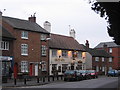
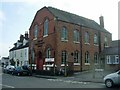
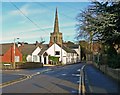
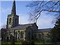
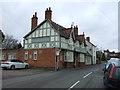
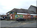
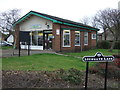
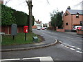
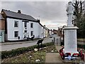
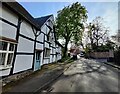
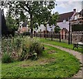
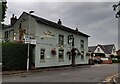
38 photos from this area
Area Information
Key information about the LE10 2DJ including its size, population, and administrative classification.
- Area Type
- Postcode
- Area Size
- 1.5 hectares
- Population
- 2054
- Population Density
- 433 people/km²
House Prices in LE10 2DJ
31
Properties
£276,150
Average Sold Price
£95,000
Lowest Price
£481,100
Highest Price
Showing 31 properties
| Address | Type | Beds | Baths | Last Sale Price | Last Sale Date | |
|---|---|---|---|---|---|---|
| 65 Lutterworth Road, Burbage, LE10 2DJ | Detached | 4 | 2 | £455,150 | Aug 2023 | |
| 37 Lutterworth Road, Burbage, LE10 2DJ | Detached | 2 | 1 | £250,000 | Oct 2022 | |
| 33 Lutterworth Road, Burbage, LE10 2DJ | Terraced | 2 | 1 | £215,000 | Sep 2022 | |
| 67 Lutterworth Road, Burbage, LE10 2DJ | house | - | - | £317,000 | Nov 2021 | |
| 27 Lutterworth Road, Burbage, LE10 2DJ | Bungalow | 2 | 2 | £345,000 | Jan 2021 | |
| The Wells, 5 Lutterworth Road, Burbage, LE10 2DJ | Detached | 5 | 3 | £475,000 | Apr 2019 | |
| Ivy House, 7 Lutterworth Road, Burbage, LE10 2DJ | Detached | 5 | 3 | £481,100 | Sep 2018 | |
| 31 Lutterworth Road, Burbage, LE10 2DJ | Terraced | 2 | - | £147,000 | Jan 2018 | |
| 35 Lutterworth Road, Burbage, LE10 2DJ | Cottage | 2 | 1 | £159,000 | Dec 2017 | |
| 61 Lutterworth Road, Burbage, LE10 2DJ | Detached | 3 | 2 | £375,000 | Nov 2017 |
Page 1 of 4
Energy Efficiency in LE10 2DJ
Amenities
Schools
| Rank | School | Type | Entry gender | Ages |
|---|
Explore more schools in this area
Go to Schools tabDemographics
Household Size
Two person
most common
Accommodation Type
Houses
most common
Tenure
78
majority
Ethnic Group
White
most common
Religion
N/A
most common
Household Composition
N/A
most common
Age
47
median
Adults (30-64 years)
most common
Household Deprivation
N/A
with no deprivation
NS-SEC
44
in Lower managerial occupations
Explore more demographic insights in this area
Go to Demographics tabPlanning
Planning Constraints
- Flood RiskPremium
- Ramsar Wetland SitesPremium
- Area of Outstanding Natural BeautyPremium
- Protected Nature ReservePremium
- Protected WoodlandPremium