Area Overview for LE10 2EH
Photos of LE10 2EH
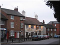
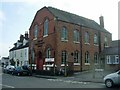
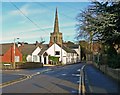
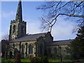
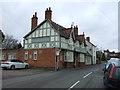
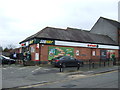
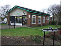
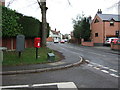
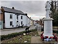
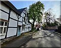
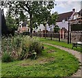
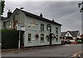
38 photos from this area
Area Information
Key information about the LE10 2EH including its size, population, and administrative classification.
- Area Type
- Postcode
- Area Size
- 7460 m²
- Population
- 2054
- Population Density
- 433 people/km²
House Prices in LE10 2EH
19
Properties
£204,200
Average Sold Price
£80,000
Lowest Price
£347,500
Highest Price
Showing 19 properties
| Address | Type | Beds | Baths | Last Sale Price | Last Sale Date | |
|---|---|---|---|---|---|---|
| 7 Fosse Close, Burbage, LE10 2EH | Semi-detached | 4 | 2 | £347,500 | May 2022 | |
| 14 Fosse Close, Burbage, LE10 2EH | Semi-detached | 4 | 2 | £310,000 | Jan 2022 | |
| 5 Fosse Close, Burbage, LE10 2EH | house | - | - | £245,000 | Jan 2019 | |
| 8 Fosse Close, Burbage, LE10 2EH | Semi-detached | 4 | 2 | £237,500 | Nov 2018 | |
| 4 Fosse Close, Burbage, LE10 2EH | Semi-detached | 4 | 2 | £220,000 | Jul 2017 | |
| 15 Fosse Close, Burbage, LE10 2EH | Terraced | 3 | - | £197,000 | Dec 2016 | |
| 18 Fosse Close, Burbage, LE10 2EH | house | - | - | £198,000 | Sep 2016 | |
| 1 Fosse Close, Burbage, LE10 2EH | Semi-detached | 4 | 2 | £80,000 | Mar 2016 | |
| 17 Fosse Close, Burbage, LE10 2EH | Semi-detached | 3 | 1 | £163,000 | May 2015 | |
| 3 Fosse Close, Burbage, LE10 2EH | house | 4 | - | £202,500 | Jun 2010 |
Page 1 of 2
Energy Efficiency in LE10 2EH
Amenities
Schools
| Rank | School | Type | Entry gender | Ages |
|---|
Explore more schools in this area
Go to Schools tabDemographics
Household Size
Two person
most common
Accommodation Type
Houses
most common
Tenure
78
majority
Ethnic Group
White
most common
Religion
N/A
most common
Household Composition
N/A
most common
Age
47
median
Adults (30-64 years)
most common
Household Deprivation
N/A
with no deprivation
NS-SEC
44
in Lower managerial occupations
Explore more demographic insights in this area
Go to Demographics tabPlanning
Planning Constraints
- Flood RiskPremium
- Ramsar Wetland SitesPremium
- Area of Outstanding Natural BeautyPremium
- Protected Nature ReservePremium
- Protected WoodlandPremium