Area Overview for LE10 2EF
Photos of LE10 2EF
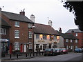
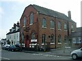
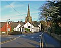
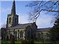
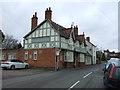
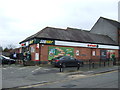
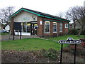
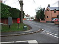
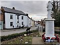
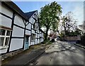
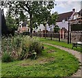
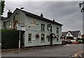
38 photos from this area
Area Information
Key information about the LE10 2EF including its size, population, and administrative classification.
- Area Type
- Postcode
- Area Size
- 1.4 hectares
- Population
- 2054
- Population Density
- 433 people/km²
House Prices in LE10 2EF
25
Properties
£152,955
Average Sold Price
£2,500
Lowest Price
£290,000
Highest Price
Showing 25 properties
| Address | Type | Beds | Baths | Last Sale Price | Last Sale Date | |
|---|---|---|---|---|---|---|
| 20 Windsor Street, Burbage, LE10 2EF | Terraced | 2 | 2 | £270,000 | Nov 2025 | |
| 24 Windsor Street, Burbage, LE10 2EF | Terraced | 3 | 2 | £285,000 | Mar 2025 | |
| The Butlers House, 34 Windsor Street, Burbage, LE10 2EF | restaurant_cafe | - | - | £290,000 | Dec 2020 | |
| Applemead, 58 Windsor Street, Burbage, LE10 2EF | Detached | 4 | 3 | £2,500 | Jun 2018 | |
| 16-18 Windsor Street, Burbage, LE10 2EF | Detached | 2 | 1 | £183,000 | Aug 2016 | |
| 52 Windsor Street, Burbage, LE10 2EF | Semi-detached | 2 | 1 | £125,000 | Oct 2006 | |
| 54A Windsor Street, Burbage, LE10 2EF | house | - | - | £107,000 | Jul 2003 | |
| 54 Windsor Street, Burbage, LE10 2EF | Semi-detached | 2 | 1 | £83,000 | Apr 2002 | |
| 50 Windsor Street, Burbage, LE10 2EF | house | - | - | £60,000 | Dec 2001 | |
| 28 Windsor Street, Burbage, LE10 2EF | Semi-detached | - | - | £112,000 | Oct 2001 |
Page 1 of 3
Energy Efficiency in LE10 2EF
Amenities
Schools
| Rank | School | Type | Entry gender | Ages |
|---|
Explore more schools in this area
Go to Schools tabDemographics
Household Size
Two person
most common
Accommodation Type
Houses
most common
Tenure
78
majority
Ethnic Group
White
most common
Religion
N/A
most common
Household Composition
N/A
most common
Age
47
median
Adults (30-64 years)
most common
Household Deprivation
N/A
with no deprivation
NS-SEC
44
in Lower managerial occupations
Explore more demographic insights in this area
Go to Demographics tabPlanning
Planning Constraints
- Flood RiskPremium
- Ramsar Wetland SitesPremium
- Area of Outstanding Natural BeautyPremium
- Protected Nature ReservePremium
- Protected WoodlandPremium