Area Overview for DE55 2AL
Photos of DE55 2AL
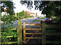
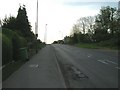
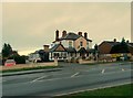
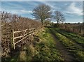
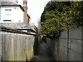
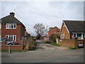
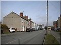
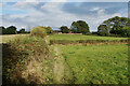
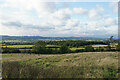
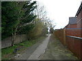
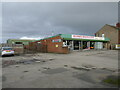
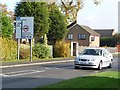
27 photos from this area
Area Information
Key information about the DE55 2AL including its size, population, and administrative classification.
- Area Type
- Postcode
- Area Size
- 5246 m²
- Population
- 1600
- Population Density
- 468 people/km²
House Prices in DE55 2AL
27
Properties
£65,992
Average Sold Price
£8,750
Lowest Price
£124,000
Highest Price
Showing 27 properties
| Address | Type | Beds | Baths | Last Sale Price | Last Sale Date | |
|---|---|---|---|---|---|---|
| 25 Queen Street, South Normanton, DE55 2AL | Terraced | 2 | - | £92,000 | Dec 2024 | |
| 26 Queen Street, South Normanton, DE55 2AL | Terraced | 3 | 1 | £75,000 | Jun 2020 | |
| 5 Queen Street, South Normanton, DE55 2AL | Semi-detached | 2 | 1 | £87,500 | Apr 2020 | |
| 24 Queen Street, South Normanton, DE55 2AL | Semi-detached | 4 | 1 | £97,000 | Aug 2017 | |
| 4 Queen Street, South Normanton, DE55 2AL | Retail | 3 | 1 | £60,000 | Jul 2015 | |
| 18 Queen Street, South Normanton, DE55 2AL | Terraced | 3 | 1 | £46,000 | Jan 2015 | |
| 9 Queen Street, South Normanton, DE55 2AL | house | - | - | £81,000 | May 2014 | |
| 1 Queen Street, South Normanton, DE55 2AL | Terraced | - | - | £62,000 | Jul 2013 | |
| 23 Queen Street, South Normanton, DE55 2AL | Terraced | 2 | 2 | £50,190 | Jun 2012 | |
| 12 Queen Street, South Normanton, DE55 2AL | Terraced | 3 | 1 | £50,000 | May 2010 |
Page 1 of 3
Energy Efficiency in DE55 2AL
Amenities
Schools
| Rank | School | Type | Entry gender | Ages |
|---|
Explore more schools in this area
Go to Schools tabDemographics
Household Size
One person
most common
Accommodation Type
Houses
most common
Tenure
60
majority
Ethnic Group
White
most common
Religion
N/A
most common
Household Composition
N/A
most common
Age
47
median
Adults (30-64 years)
most common
Household Deprivation
N/A
with no deprivation
NS-SEC
21
in Lower managerial occupations
Explore more demographic insights in this area
Go to Demographics tabPlanning
Planning Constraints
- Flood RiskPremium
- Ramsar Wetland SitesPremium
- Area of Outstanding Natural BeautyPremium
- Protected Nature ReservePremium
- Protected WoodlandPremium