Area Overview for DE55 2EL
Photos of DE55 2EL
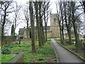
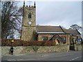
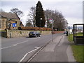
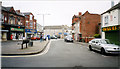
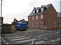
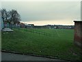

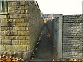
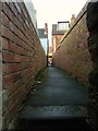
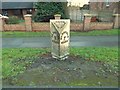
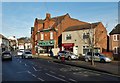
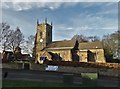
44 photos from this area
Area Information
Key information about the DE55 2EL including its size, population, and administrative classification.
- Area Type
- Postcode
- Area Size
- 2.2 hectares
- Population
- 1822
- Population Density
- 4325 people/km²
House Prices in DE55 2EL
37
Properties
£92,483
Average Sold Price
£9,250
Lowest Price
£190,000
Highest Price
Showing 37 properties
| Address | Type | Beds | Baths | Last Sale Price | Last Sale Date | |
|---|---|---|---|---|---|---|
| 4 Market Street, South Normanton, DE55 2EL | Terraced | 2 | 1 | £117,500 | Nov 2025 | |
| 68 Market Street, South Normanton, DE55 2EL | Terraced | 2 | 1 | £85,000 | Feb 2024 | |
| 12 Market Street, South Normanton, DE55 2EL | Terraced | 2 | 1 | £117,500 | Aug 2023 | |
| 56 Market Street, South Normanton, DE55 2EL | house | - | - | £104,000 | Sep 2021 | |
| 16 Market Street, South Normanton, DE55 2EL | Terraced | 2 | - | £88,500 | Aug 2021 | |
| 48 Market Street, South Normanton, DE55 2EL | house | - | - | £135,000 | Feb 2021 | |
| 24 Market Street, South Normanton, DE55 2EL | Semi-detached | 2 | - | £74,000 | Nov 2019 | |
| 22 Market Street, South Normanton, DE55 2EL | Semi-detached | 2 | - | £93,000 | Aug 2016 | |
| 38 Market Street, South Normanton, DE55 2EL | house | - | - | £190,000 | Dec 2013 | |
| 54 Market Street, South Normanton, DE55 2EL | Terraced | - | - | £33,000 | Apr 2012 |
Page 1 of 4
Energy Efficiency in DE55 2EL
Amenities
Schools
| Rank | School | Type | Entry gender | Ages |
|---|
Explore more schools in this area
Go to Schools tabDemographics
Household Size
Two person
most common
Accommodation Type
Houses
most common
Tenure
65
majority
Ethnic Group
White
most common
Religion
N/A
most common
Household Composition
N/A
most common
Age
47
median
Adults (30-64 years)
most common
Household Deprivation
N/A
with no deprivation
NS-SEC
25
in Lower managerial occupations
Explore more demographic insights in this area
Go to Demographics tabPlanning
Planning Constraints
- Flood RiskPremium
- Ramsar Wetland SitesPremium
- Area of Outstanding Natural BeautyPremium
- Protected Nature ReservePremium
- Protected WoodlandPremium