Area Overview for DE55 2AB
Photos of DE55 2AB
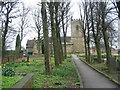
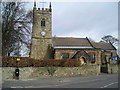
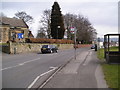
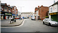
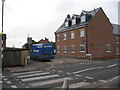
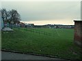
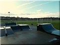
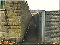
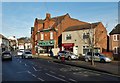
44 photos from this area
Area Information
Key information about the DE55 2AB including its size, population, and administrative classification.
- Area Type
- Postcode
- Area Size
- 8405 m²
- Population
- 1600
- Population Density
- 468 people/km²
House Prices in DE55 2AB
38
Properties
£93,335
Average Sold Price
£43,000
Lowest Price
£140,000
Highest Price
Showing 38 properties
| Address | Type | Beds | Baths | Last Sale Price | Last Sale Date | |
|---|---|---|---|---|---|---|
| 35 Market Street, South Normanton, DE55 2AB | Terraced | 2 | 1 | £118,000 | Feb 2023 | |
| 5 Market Street, South Normanton, DE55 2AB | house | 2 | 2 | £140,000 | Sep 2022 | |
| 43 Market Street, South Normanton, DE55 2AB | Terraced | 3 | 1 | £118,000 | Feb 2022 | |
| 49A Market Street, South Normanton, DE55 2AB | Flat | - | - | £85,000 | Dec 2021 | |
| 11 Market Street, South Normanton, DE55 2AB | Semi-detached | 2 | 1 | £125,000 | Sep 2021 | |
| 37 Market Street, South Normanton, DE55 2AB | Terraced | 3 | - | £89,000 | Mar 2021 | |
| 3 Market Street, South Normanton, DE55 2AB | Semi-detached | 3 | 1 | £128,000 | Mar 2020 | |
| 15 Market Street, South Normanton, DE55 2AB | Flat | 3 | 1 | £110,000 | Jan 2016 | |
| 47 Market Street, South Normanton, DE55 2AB | Terraced | 3 | - | £47,000 | Oct 2014 | |
| 45 Market Street, South Normanton, DE55 2AB | Terraced | - | - | £67,950 | Mar 2008 |
Page 1 of 4
Energy Efficiency in DE55 2AB
Amenities
Schools
| Rank | School | Type | Entry gender | Ages |
|---|
Explore more schools in this area
Go to Schools tabDemographics
Household Size
One person
most common
Accommodation Type
Houses
most common
Tenure
60
majority
Ethnic Group
White
most common
Religion
N/A
most common
Household Composition
N/A
most common
Age
47
median
Adults (30-64 years)
most common
Household Deprivation
N/A
with no deprivation
NS-SEC
21
in Lower managerial occupations
Explore more demographic insights in this area
Go to Demographics tabPlanning
Planning Constraints
- Flood RiskPremium
- Ramsar Wetland SitesPremium
- Area of Outstanding Natural BeautyPremium
- Protected Nature ReservePremium
- Protected WoodlandPremium