Building
Built 1950–1966.
End-Of-Terrace House
This is not a sales listing. Propbar data is compiled for informational purposes.
Average sold price
£199,668
Last 24 months
Homes sold
550
Last 24 months
Median asking price
£220,000
On the market now
Homes for sale
615
On the market now
Completed sales recorded by HM Land Registry. The most recent months are still being registered, so the faded bars read low at first.
Where sellers are pitching prices over time. The direction of travel matters more than any single month.
Sold subject to contract
34% of listings
Back on the market
10% of listings
Typical asking rent in LL11: £850 pcm.
These describe homes for sale today in LL11. Useful for judging your negotiating position.
Sold prices: HM Land Registry (England & Wales), typically 1–3 months behind completion. Listings data reflects major property portals.
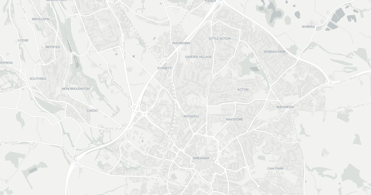
House at 6 Wynn Avenue in Rhosddu Community (LL11 2EP). It offers around 86 m² of floor space. The property holds an EPC rating of C and dates from 1950–1966. Nearby shops include Spar, Aldi Garden, M&S Wrexham and Sainsburys Wrexham, the closest about 438 m away. The nearest stations are Wrexham General Railway Station, Wrexham Central Railway Station and Gwersyllt Railway Station, around 763 m away. Broadband coverage in the area is excellent and mobile coverage is strong.
Last Asking Price
—
Not currently listed
Propbar's Valuation Beta
£XXX
Range £XXX – £XXX
Price position
Price per sq ft
£XXX
Based on 926 ft²
Last Sold
—
No record
Market Timeline
—
Not currently listed
Times Listed
—
No history
Last Asking Rent
—
Not currently listed
Propbar's Valuation Beta
£XXX pcm
Range £XXX – £XXX pcm
Rent position
Gross Yield
X.X%
Annual return rate
Last Let
—
No record
Days on Market
—
Not currently listed
Times Listed
—
No history
1 of 12sections reviewed
Built 1950–1966.
Freehold confirmed by HM Land Registry. Unlock to reveal owner, charges and restrictions.
No market history recorded for this property.
Sold prices, sales volumes and market pace for LL11 over the last 24 months.
Nothing on record for this property. See what's being applied for and built around it.
Outside the modelled flood-risk coverage (Scotland and Wales publish their own assessments).
What band C means for your bills, rental rules and upgrade headroom.
No Police.UK records for this area in the latest month.
Pollutant levels, the official index and health context for this address.
Where LL11 2EP sits on the national prosperity ladder, and what drives it.
No school data is available for this property.
4 essentials within 15 min walk · 5 transport links nearby
We use cookies to provide you with the best experience. By continuing, you agree to our Cookie Policy .