Area Overview for SY10 7NU
Photos of SY10 7NU
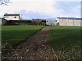
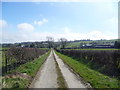
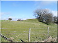
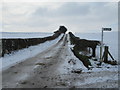
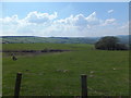
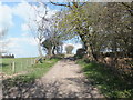

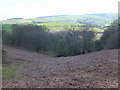
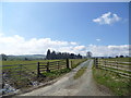

11 photos from this area
Area Information
Key information about the SY10 7NU including its size, population, and administrative classification.
- Area Type
- Postcode
- Area Size
- 1.5 km²
- Population
- 2064
- Population Density
- 18 people/km²
House Prices in SY10 7NU
5
Properties
£365,000
Average Sold Price
£160,000
Lowest Price
£505,000
Highest Price
Showing 5 properties
| Address | Type | Beds | Baths | Last Sale Price | Last Sale Date | |
|---|---|---|---|---|---|---|
| Plas Newydd Bronygarth, Lane From B 4579 To Bronygarth Spur, Selattyn, Oswestry, SY10 7NU | Detached | 6 | 3 | £505,000 | Nov 2022 | |
| Tyn Y Coed, Access Road To Tyn Y Coed Leading To County Boundary, Bronygarth, Oswestry, SY10 7NU | house | - | - | £430,000 | Mar 2017 | |
| Starlings Castle, Lane From C 242 To Junction Near Henmer House, Bronygarth, Oswestry, SY10 7NU | Semi-detached | - | - | £160,000 | Mar 1996 | |
| Hanmer House Bronygarth, Lane From B 4579 To Bronygarth Spur, Selattyn, Oswestry, SY10 7NU | Detached | - | - | - | - | |
| Guest House Starling, Lane From C 242 To Junction Near Henmer House, Bronygarth, Oswestry, SY10 7NU | hotel | - | - | - | - |
Energy Efficiency in SY10 7NU
Amenities
Schools
| Rank | School | Type | Entry gender | Ages |
|---|
Explore more schools in this area
Go to Schools tabDemographics
Household Size
Two person
most common
Accommodation Type
Houses
most common
Tenure
72
majority
Ethnic Group
White
most common
Religion
N/A
most common
Household Composition
N/A
most common
Age
47
median
Adults (30-64 years)
most common
Household Deprivation
N/A
with no deprivation
NS-SEC
32
in Lower managerial occupations
Explore more demographic insights in this area
Go to Demographics tabPlanning
Planning Constraints
- Flood RiskPremium
- Ramsar Wetland SitesPremium
- Area of Outstanding Natural BeautyPremium
- Protected Nature ReservePremium
- Protected WoodlandPremium
- Crime RiskPremium