Area Overview for LL14 2LE
Photos of LL14 2LE
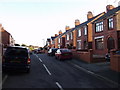
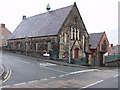
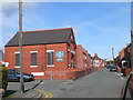
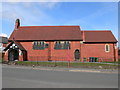
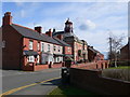
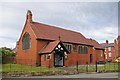

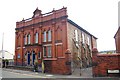
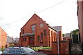
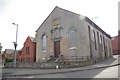
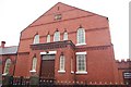
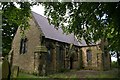
71 photos from this area
Area Information
Key information about the LL14 2LE including its size, population, and administrative classification.
- Area Type
- Postcode
- Area Size
- 3986 m²
- Population
- 1526
- Population Density
- 450 people/km²
House Prices in LL14 2LE
15
Properties
£78,000
Average Sold Price
£51,000
Lowest Price
£93,000
Highest Price
Showing 15 properties
| Address | Type | Beds | Baths | Last Sale Price | Last Sale Date | |
|---|---|---|---|---|---|---|
| 24 Hall Street, Rhosllanerchrugog, Wrexham, LL14 2LE | house | 3 | 1 | £93,000 | Oct 2011 | |
| Gwylfa, Hall Street, Rhosllanerchrugog, Wrexham, LL14 2LE | Terraced | 3 | 1 | £90,000 | Aug 2007 | |
| 30A Hall Street, Rhosllanerchrugog, Wrexham, LL14 2LE | Bungalow | 2 | 1 | £51,000 | Jul 1997 | |
| Evans Electrical, Unit 2, 18 Hall Street, Rhosllanerchrugog, Wrexham, LL14 2LE | warehouse | - | - | - | - | |
| Evans Electrical, Unit 3, 18 Hall Street, Rhosllanerchrugog, Wrexham, LL14 2LE | warehouse | - | - | - | - | |
| Evans Electrical, Unit 4, 18 Hall Street, Rhosllanerchrugog, Wrexham, LL14 2LE | warehouse | - | - | - | - | |
| Evans Electrical, Unit 1, 18 Hall Street, Rhosllanerchrugog, Wrexham, LL14 2LE | warehouse | - | - | - | - | |
| Evans Electrical, Unit 5, 18 Hall Street, Rhosllanerchrugog, Wrexham, LL14 2LE | warehouse | - | - | - | - | |
| Manhattan Beach, Unit 7, Tanning Beauty And Hair Salon, 18 Hall Street, Rhosllanerchrugog, Wrexham, LL14 2LE | shop | - | - | - | - | |
| Evans Electrical, Unit 6, 18 Hall Street, Rhosllanerchrugog, Wrexham, LL14 2LE | warehouse | - | - | - | - |
Page 1 of 2
Energy Efficiency in LL14 2LE
Amenities
Schools
| Rank | School | Type | Entry gender | Ages |
|---|
Explore more schools in this area
Go to Schools tabDemographics
Household Size
One person
most common
Accommodation Type
Houses
most common
Tenure
42
majority
Ethnic Group
White
most common
Religion
N/A
most common
Household Composition
N/A
most common
Age
47
median
Adults (30-64 years)
most common
Household Deprivation
N/A
with no deprivation
NS-SEC
19
in Lower managerial occupations
Explore more demographic insights in this area
Go to Demographics tabPlanning
Planning Constraints
- Flood RiskPremium
- Ramsar Wetland SitesPremium
- Area of Outstanding Natural BeautyPremium
- Protected Nature ReservePremium
- Protected WoodlandPremium
- Crime RiskPremium